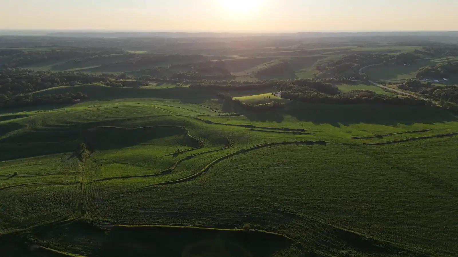
Drone surveys
Orthomosaics, vegetation indices, thermography, tree counting, flight missions, plot trials, volumes and PPK positions.
The challenge
The detail the satellite cannot see
Satellite images have a resolution of 10 metres and cannot see through clouds. Localised stress, gaps and problems along the row need centimetre-level resolution.
The solution
Agronix processes drone images on its own servers and links orthomosaics and maps to each field, next to satellite and weather data.
Features included
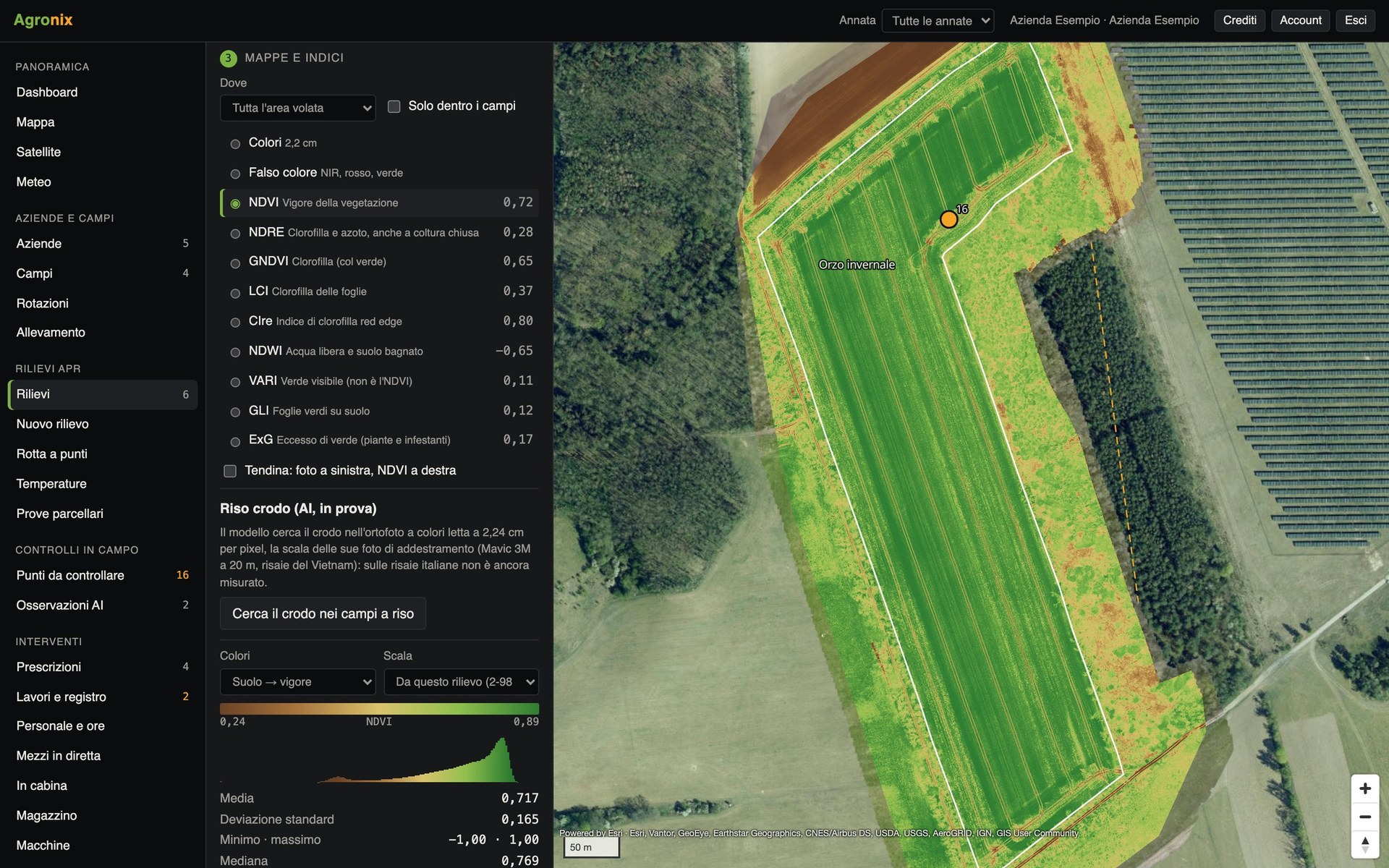
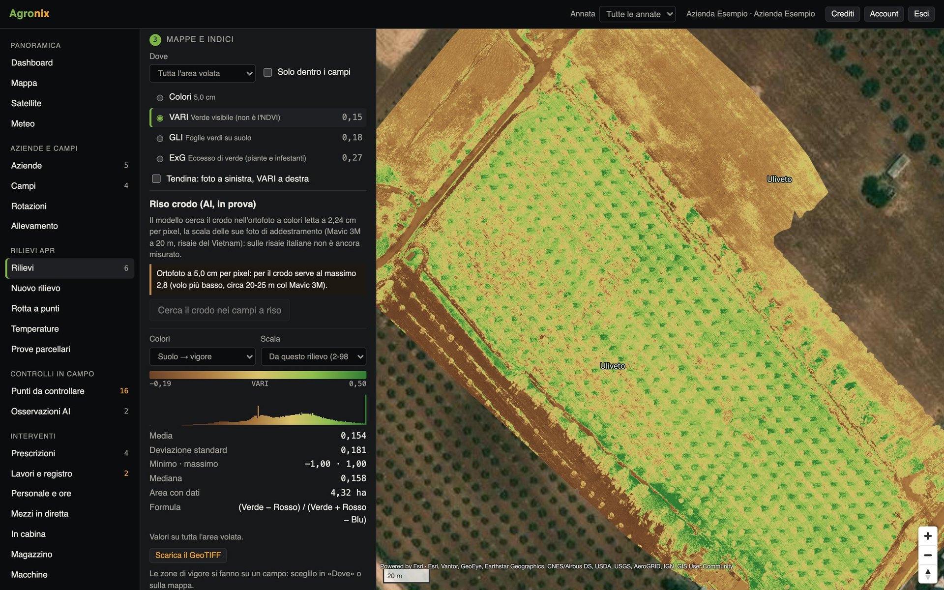
- Vegetation indicesOrthomosaic and nine vegetation indices, statistics by field, comparison between flights and PDF report.Learn more
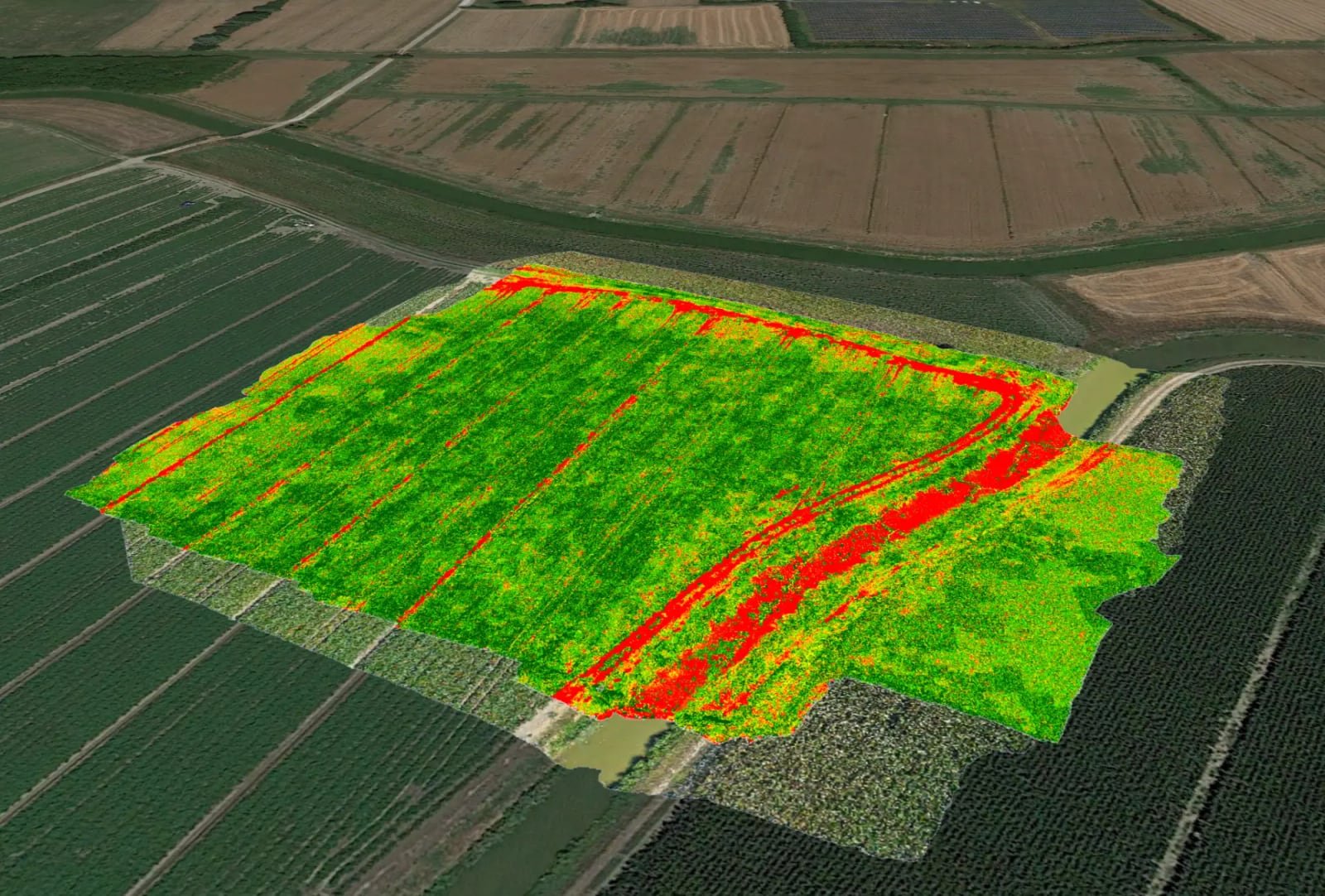
- ThermographyTemperature maps in degrees Celsius from radiometric thermal photos: water stress, waterlogging, leaks.Learn more
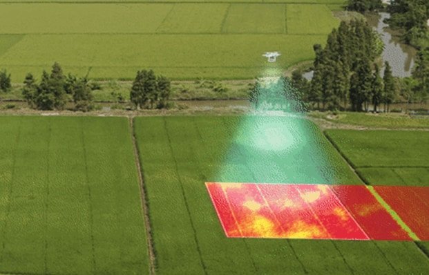
- Trees and canopiesTree counting with height, diameter and canopy volume, for orchards, olive groves and hazelnut groves.Learn more
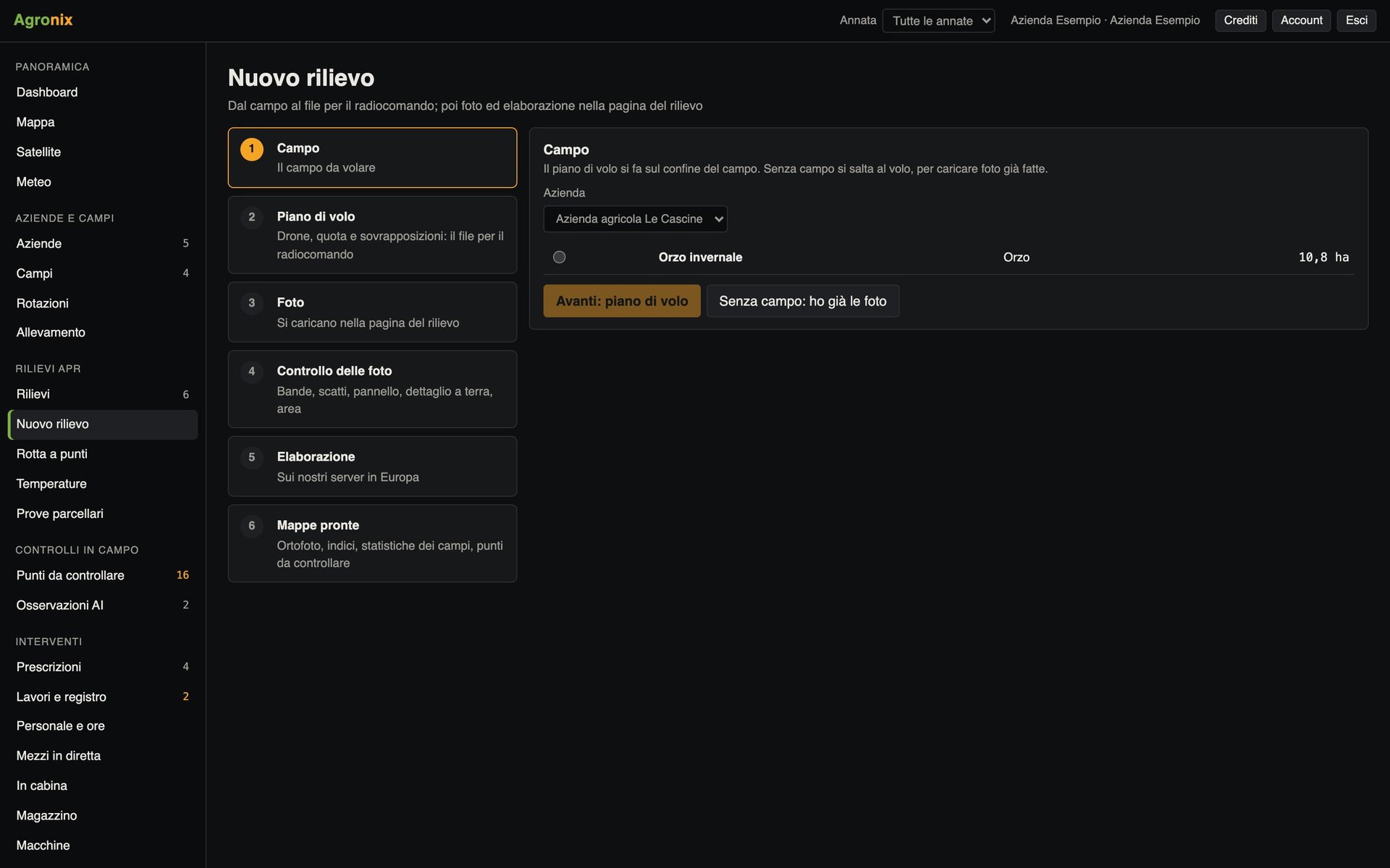
- Flight missionsMapping missions on the boundary, oblique shots for 3D and waypoint routes for inspections.Learn more
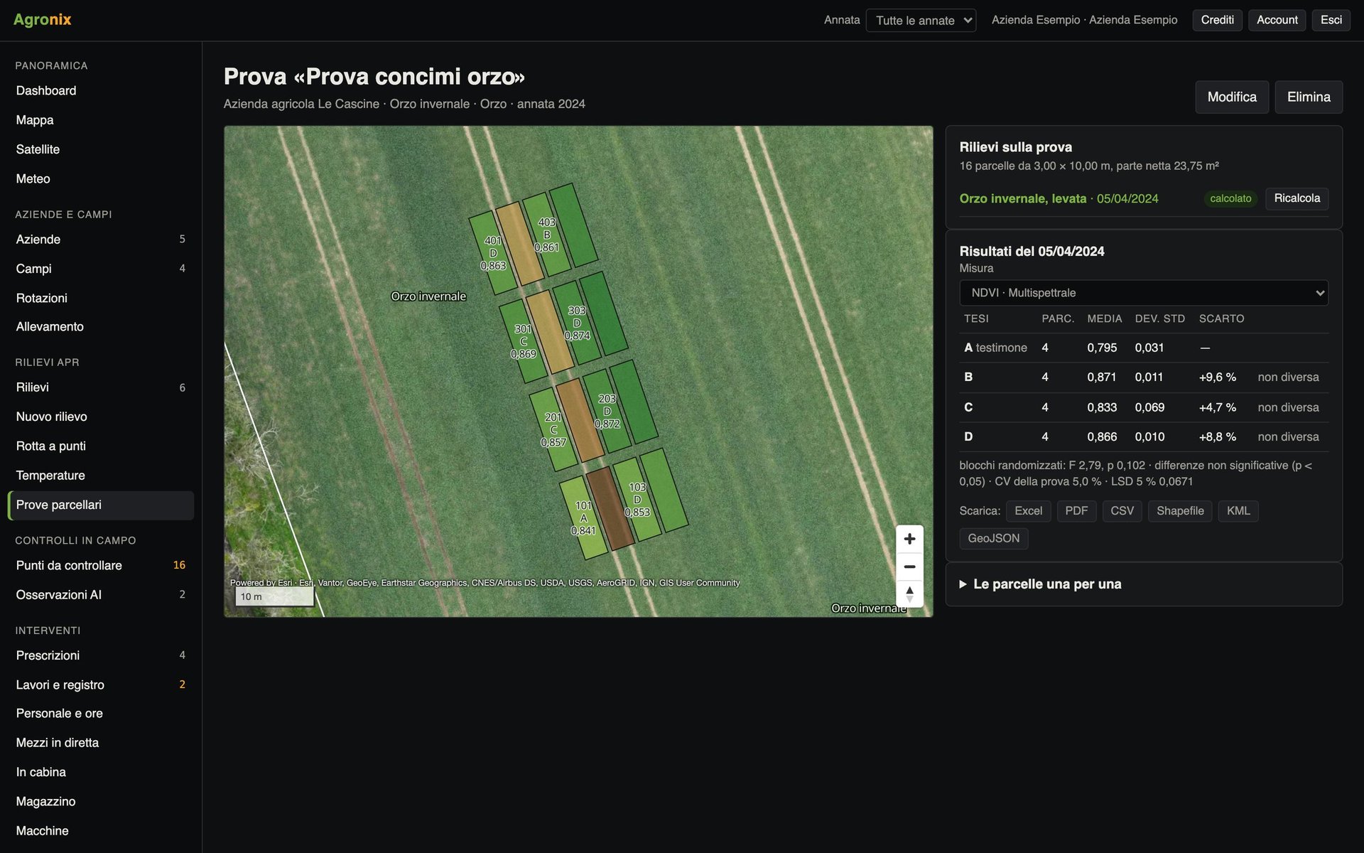
- Plot trialsPlots on the map, data for each plot at every survey, analysis of variance between treatments.Learn more
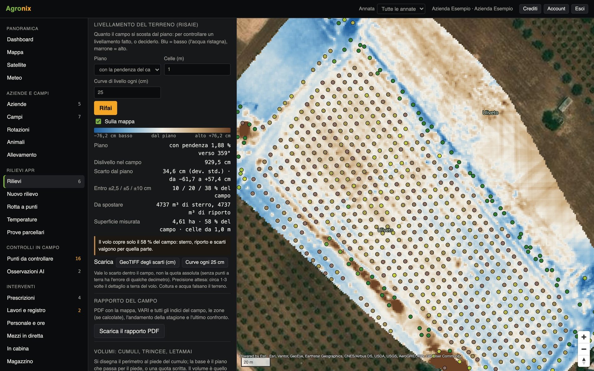
- Volumes and levellingVolumes of stockpiles, silage clamps and manure heaps; levelling of rice paddies with cut and fill.Learn more
Compatible drones
DJI drones for multispectral, RGB and thermal mapping: models and formats on the Machinery and integrations page.
Who it is for
Farms with a drone
Plan the flight, upload the images and view the maps on the field page.
Contractors and operators
Carry out surveys for clients and deliver maps and reports.
Agronomists and researchers
Analyse variability before the field visit and measure field trials.
Availability by device
Computer
Mission planning, image upload, maps and PDF reports.
iPad
The computer features by touch, with the map full screen.
Smartphone
Viewing survey maps; missions and uploads from computer or iPad.
Activating the module
Once the module is active, the maps of every new survey appear on the pages of the fields already there.
Price
Available soon
Buy