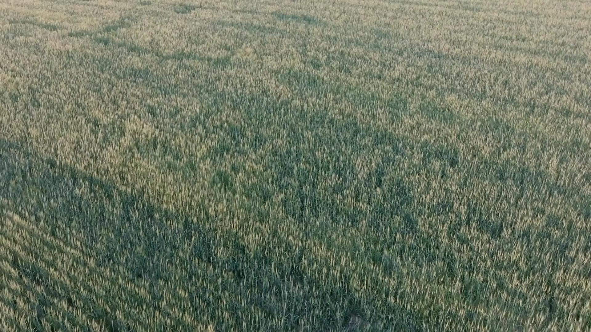
Precision agriculture
Monitor your crops, plan your work, run your farm.
Agronix brings together satellite imagery, drone surveys, prescription maps, stock and a digital field logbook in a single web platform.
Data hosted in the European Union · Nothing to install
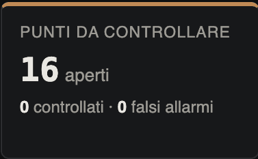
Agronomic and management data, connected at last
- Field logbook filled in by hand
- Maps and files scattered between advisers and contractors
- Field observations with no date or location
- Stock levels and purchase documents to reconcile
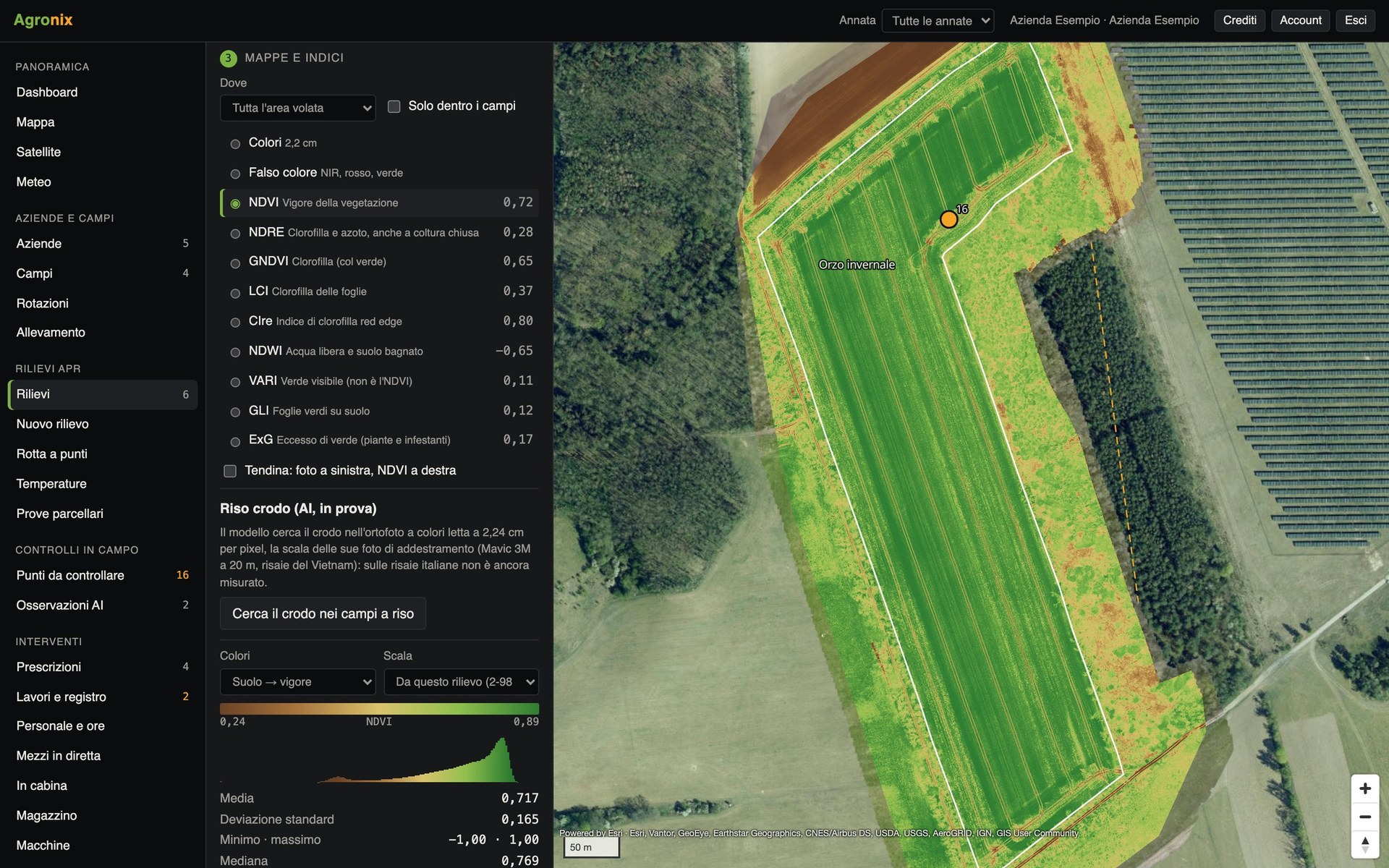
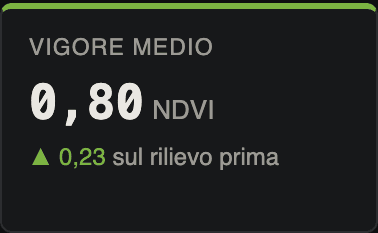
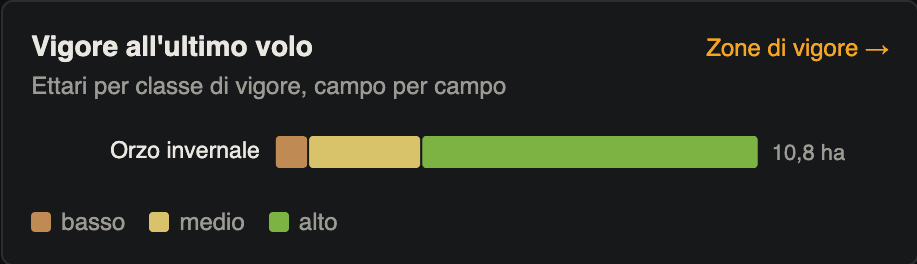
Agronix links every piece of information to the field and its growing season.
Solutions
For every part of the farming supply chain
- FarmsPlan field work, keep costs and stock under control, keep the field logbook always up to date.Learn more
- Agricultural contractorsOrganise contract work, record hours and vehicles, deliver maps compatible with ISOBUS terminals.Learn more
- Agronomists and advisersFollow all your client farms: vegetation indices, targeted field visits, prescriptions.Learn more
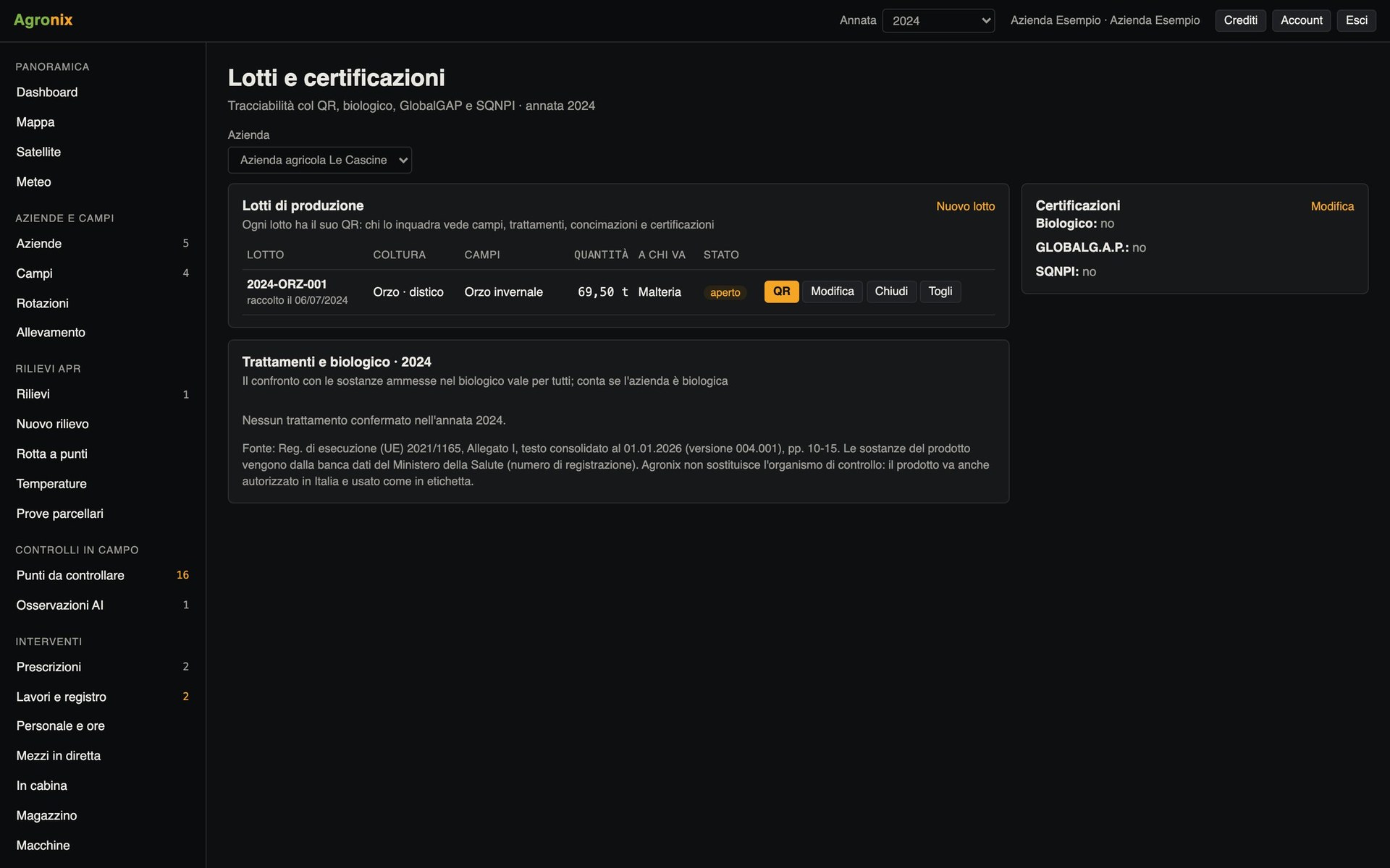
- Cooperatives and supply chainsTrace lots from harvest to sale with QR codes, certifications and production yields.Learn more
How it works
From the field map to the spray record
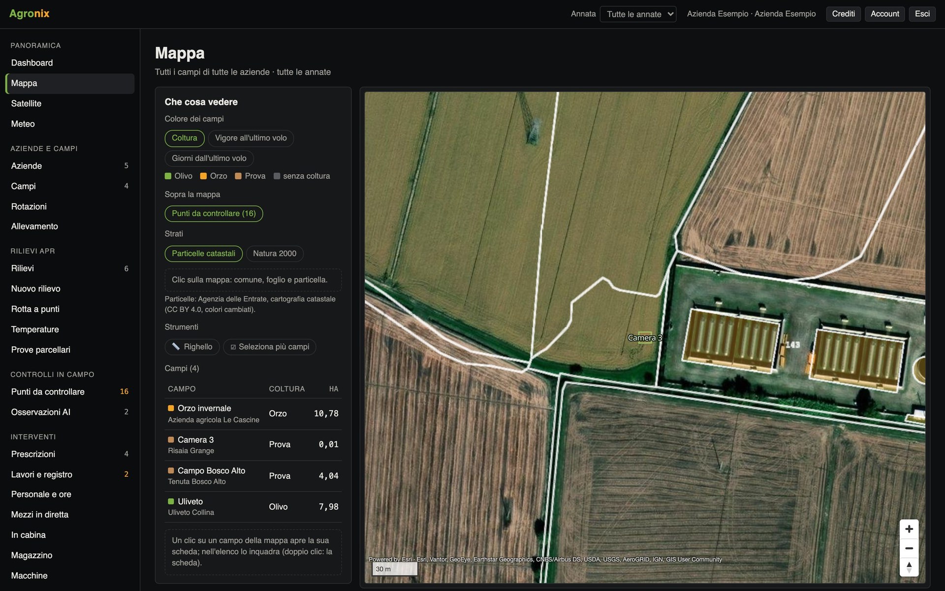 01
Map your fields
Draw the boundaries or import them from a file: cadastral parcels and environmental constraints are linked automatically.
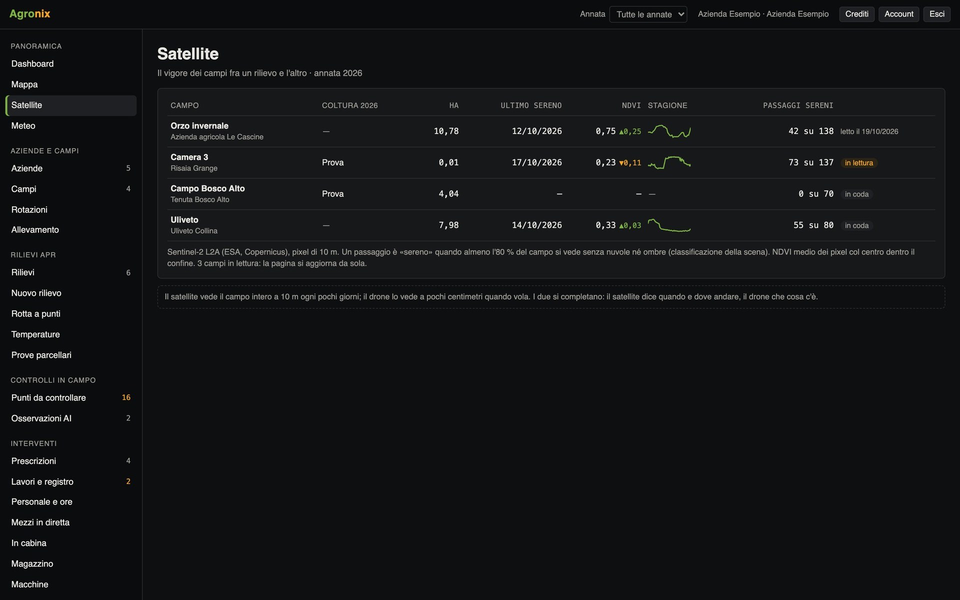 02
Monitor your crops
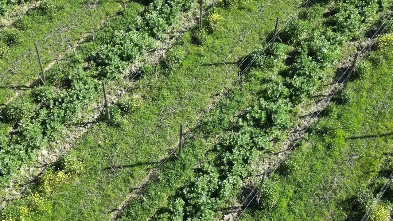
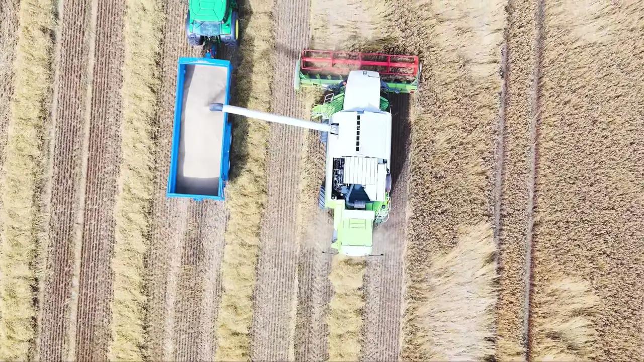
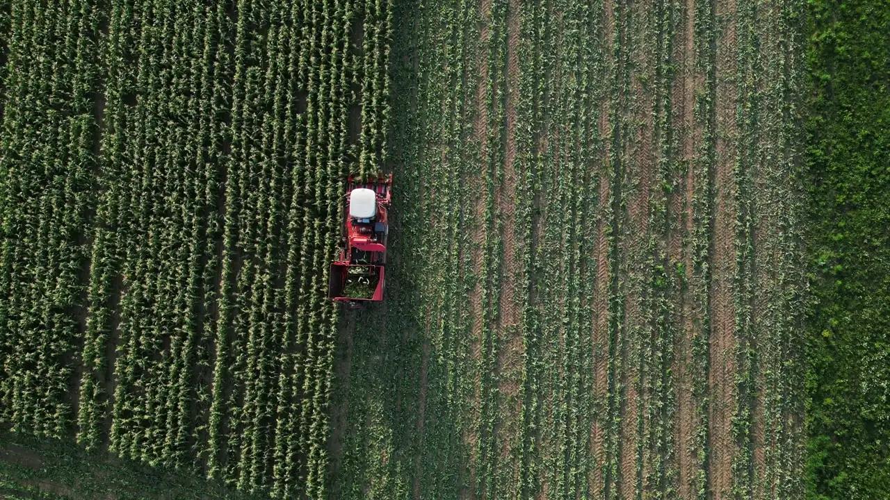
Satellite images every few days across the whole farm. When you need more detail, a drone survey goes down to the centimetre.
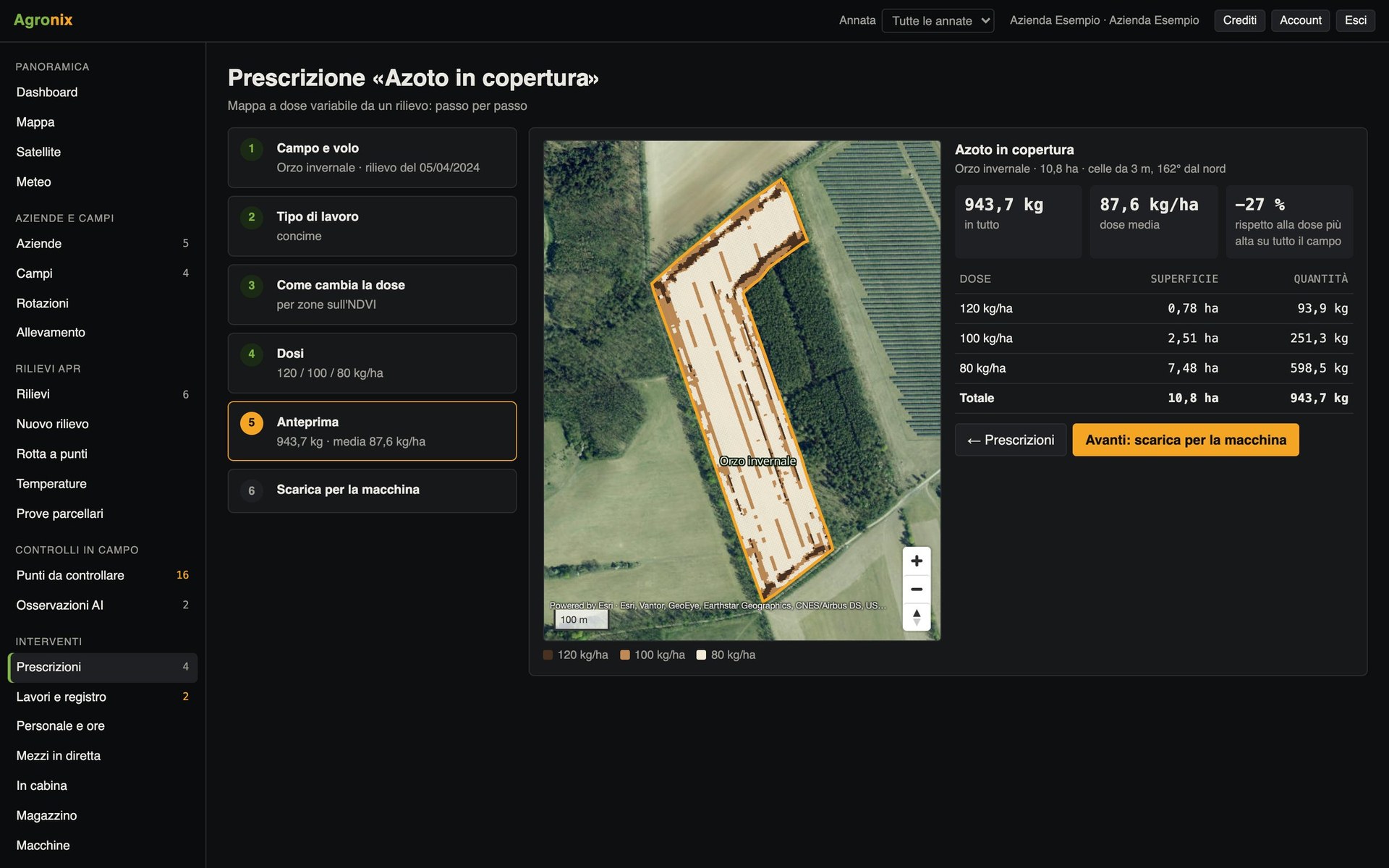 03
Act where it matters
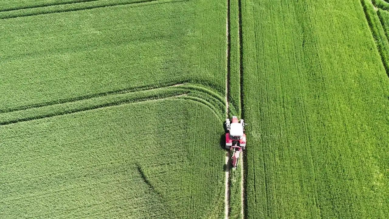
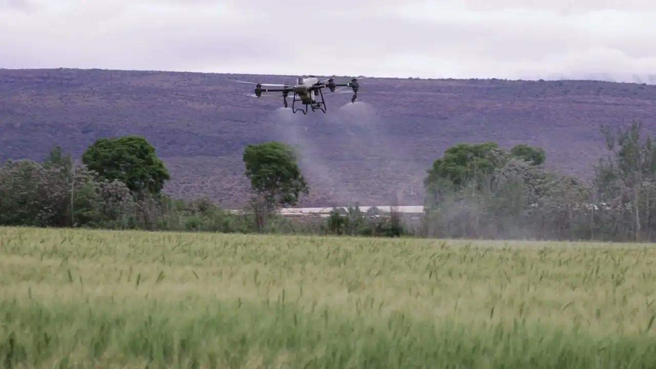
Low-vigour areas become points to check and prescription maps, exportable for spraying drones and ISOBUS terminals.
 04
Record and trace
Treatments and field operations flow into the field logbook, stock levels update and every lot keeps its own history.
The platform in numbers
9
vegetation indices from drone surveys
3
DJI drone models with exportable flight missions
30+
crops covered by disease and pest diagnosis
17.000+
plant protection products from the Italian Ministry of Health database
Modules
Switch on only the modules you need
The Base module is always included. The others are added when needed and work on the data already there.
- IncludedBaseFarm details and fields, mapping, weather and alerts, satellite monitoring, notifications, document archive, users and permissions.
- Drone surveysOrthomosaics, vegetation indices, thermography, tree counting, flight missions, plot trials, volumes and PPK positions.
- Field checks and AIField visits guided by the maps, diagnosis of diseases and pests from photos, counting of plants and weeds.
- Precision agronomyManagement zones, variable-rate prescription maps, files for machinery, irrigation advice and rotations.
- Field logbookSpray record, digital field logbook, cross-compliance and plant protection product database.
- Stock, machinery and staffStock and lots, machinery fleet and sprayer inspections, attendance and working hours, live vehicles, costs and margins.
- Traceability and supply chainProduction lots with QR codes, certifications, harvests and storage, supply chain and yields, carbon footprint.
- LivestockAnimals and movements with the national livestock registry (BDN), health and medicines, breeding, milk production and quality, feeding, manure nitrogen.
- Tax and complianceFarm accounting under Italian rules: cash book, VAT, e-invoices, F24 payments, tax returns, fixed assets and financial statements.
Devices
From the office to the field, on the right device
Each version has controls designed for the screen it is used on.
Computer
Planning, records and signing documents. Full tables, side-by-side views, keyboard shortcuts.
iPad
Every computer feature in a touch version: the map with your finger or a pen, large controls.
Field app
On the phone: today's alerts, fields and points to check with «Take me here», product codes, «In the cab».
Works offline too
Records made in the field stay on the phone and are sent as soon as the signal returns. Install it from the Home screen.
Data security
Your data, under your control
European infrastructure
Data and processing stay on servers in the European Union.
Free export
Fields, maps and records can be exported in open formats, with no strings attached.
Role-based permissions
Each user only sees the areas they are responsible for.
Change history
Every correction to the spray record is kept with its date and reason.
See Agronix on your own farm
An online presentation, built around the way you work.