Count and measure every tree
The survey with heights finds every tree and measures its height, canopy and vegetation volume.
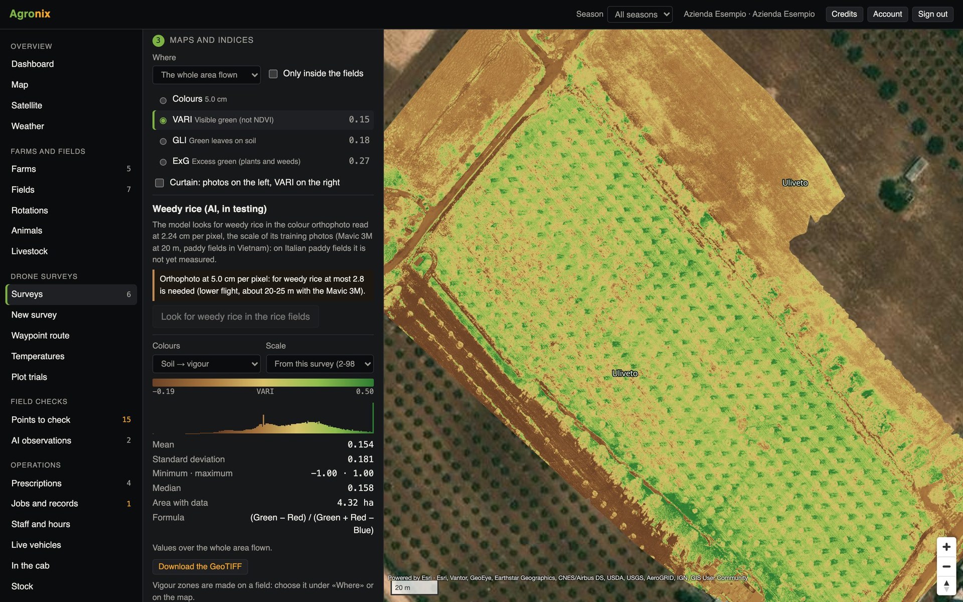
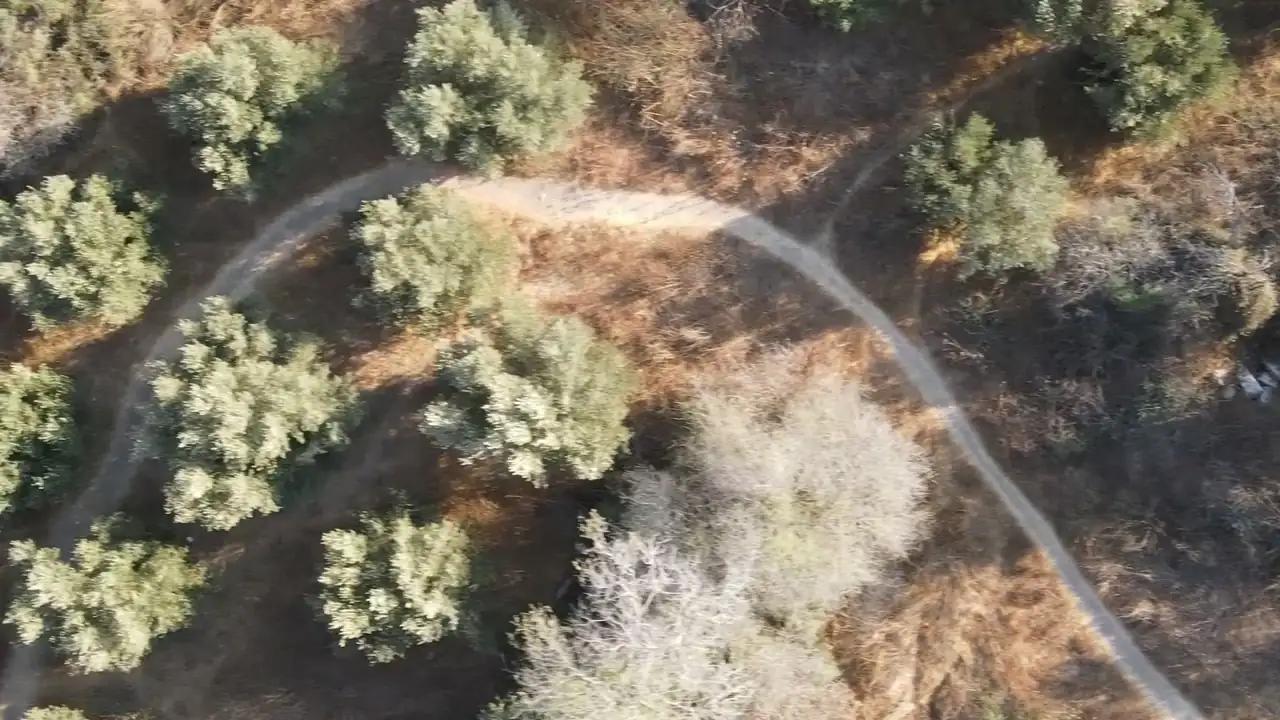
For orchards, olive groves and hazelnut groves, the survey with heights rebuilds the surface model and the terrain model. The difference gives the height of everything above the ground: Agronix finds the treetops, outlines each tree's canopy and measures its height, diameter, vigour and volume.
Trees
A record for every tree
For each tree: height, canopy diameter, vigour and volume; for the orchard: count, totals and values per hectare. Trees appear on the map and can be exported to other software. Canopy volume is the basis for dosing treatments on the actual foliage.
- Height, canopy and volume
- Count and values per hectare
- CSV, KML, shapefile and GeoJSON
Detail
Check every plant on the map
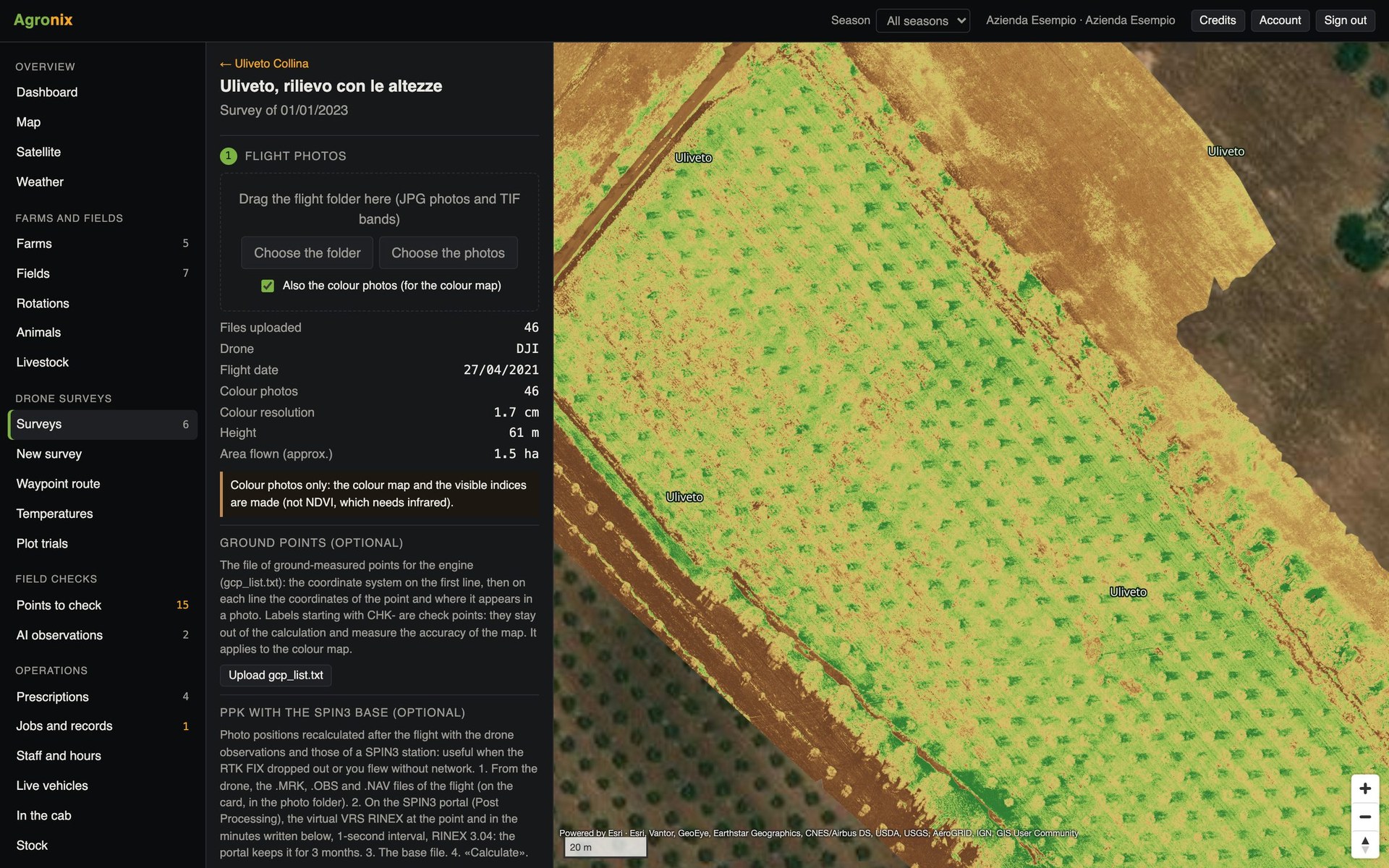
The survey page shows the canopies over the orthomosaic: gaps, weak plants and differences between rows can be checked at a glance. The detected trees are also the basis for the prescription that treats only under the canopies.
- Canopies over the orthomosaic
- Gaps and weak plants
- Basis for the tree prescription
How to use it
- 1
Choose «with heights»
In the new survey; processing takes longer.
- 2
Count the trees
From the survey page, field by field.
- 3
Read the values
Per tree and per hectare.
- 4
Use the results
Canopy prescription, exports.
Specifications
- Check
- Olive grove with canopies marked by hand: precision 0.92, trees found 0.85.
- Crops
- Orchards, olive groves, hazelnut groves, row plants with separate canopies.
- Model
- Vegetation height at 10 cm, from the difference between surface and terrain.
- Export
- CSV, KML, shapefile, GeoJSON.
Related features
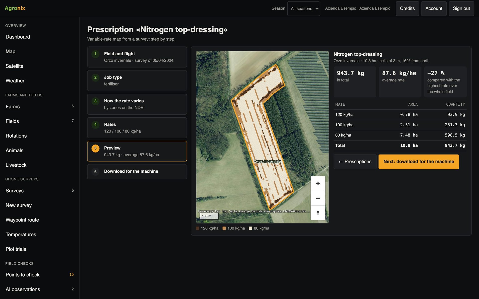
- Prescription mapsVariable-rate fertiliser, seeding, plant protection and spot weeding, in six guided steps.Learn more
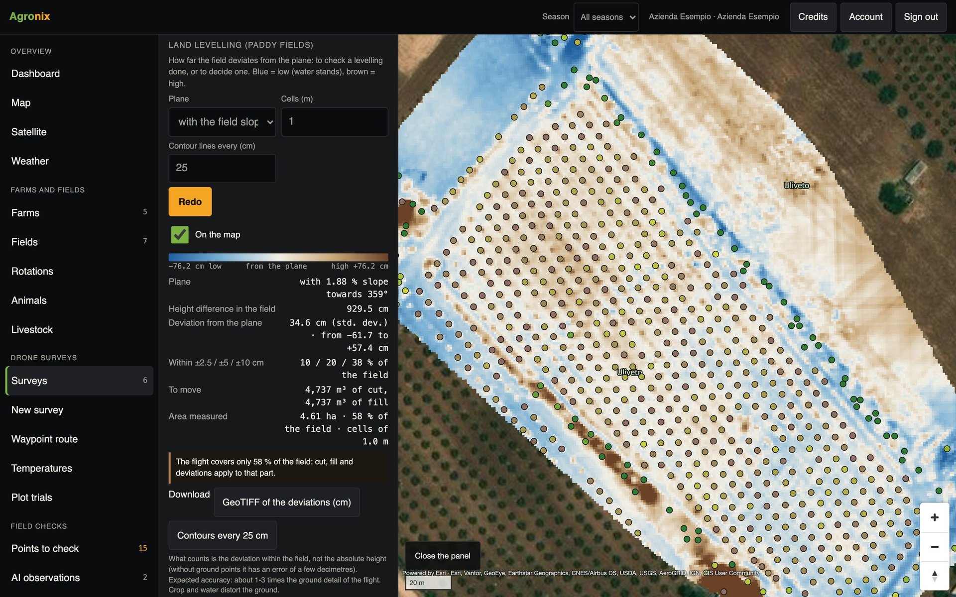
- Volumes and levellingVolumes of stockpiles, silage clamps and manure heaps; levelling of rice paddies with cut and fill.Learn more
- Flight missionsMapping missions on the boundary, oblique shots for 3D and waypoint routes for inspections.Learn more