Field trials measured by drone
Plot grid on the map, values for each plot at every survey and statistical comparison between treatments.
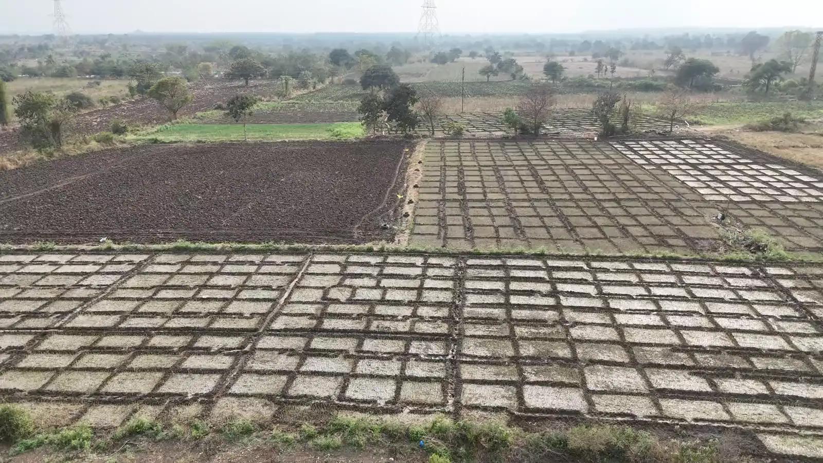
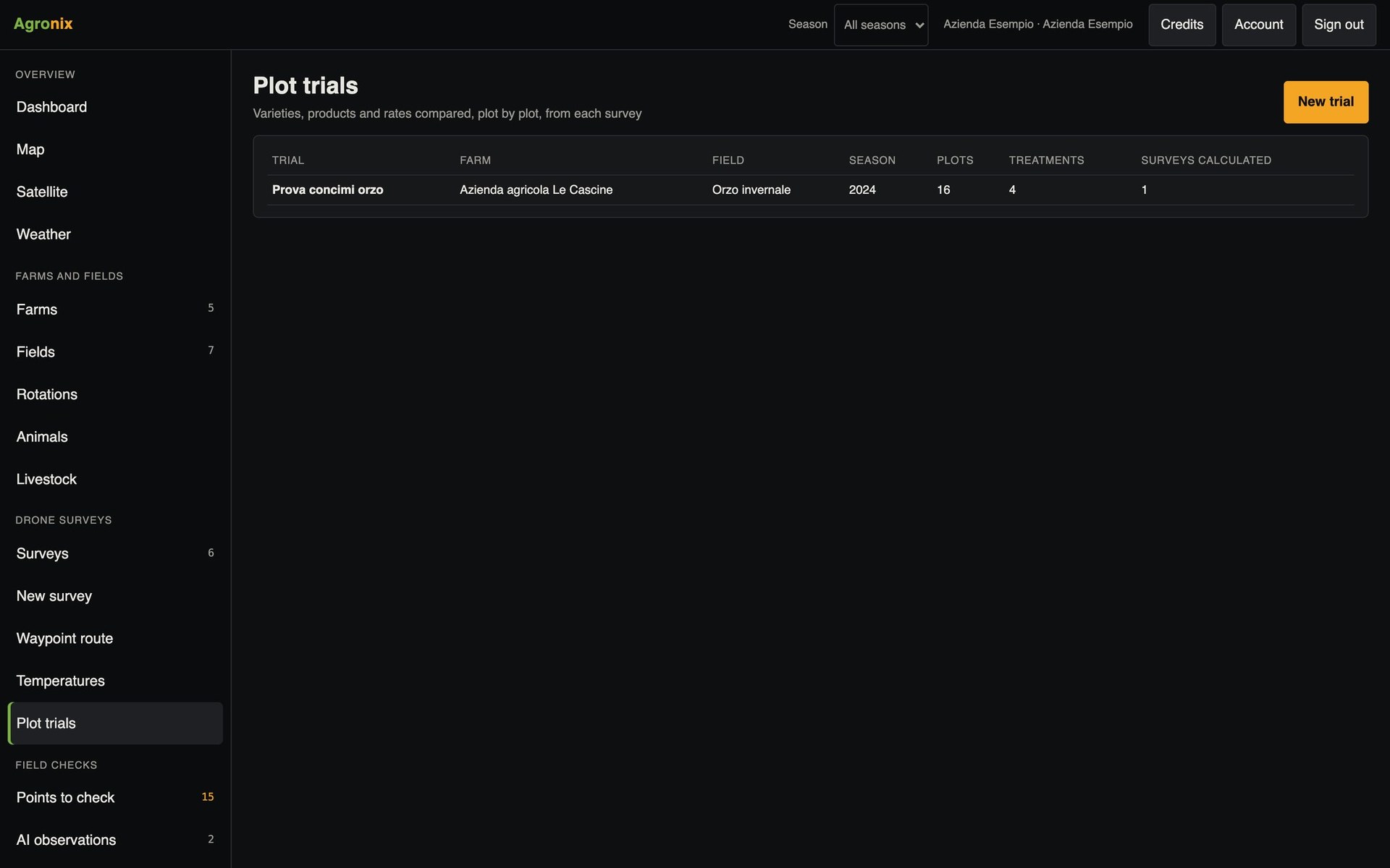
For anyone testing fertilisers, varieties or crop protection strategies, the drone measures every plot with the same method at the same moment. In Agronix you lay the grid on the field, assign the treatments and at every survey get the values by plot and the comparison between treatments, ready for the report.
Plots
Lay the grid and assign the treatments
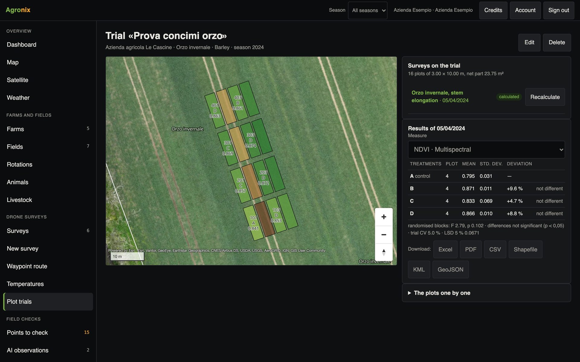
Plot size, rows, columns and orientation: the grid is laid on the field. Treatments are assigned in randomised blocks, in sequence, from a CSV file or by hand; each plot has its own code.
- Randomised blocks or free design
- Treatments from CSV or by hand
- Control specified
Results
Tell real differences apart
From every survey: vegetation indices, green cover and heights by plot, with the mean by treatment and the difference from the control. Analysis of variance, by blocks or one-way, and the least significant difference separate significant differences from chance ones.
- Block or one-way ANOVA
- LSD against the control
- Excel, CSV, PDF, shapefile, KML, GeoJSON
How to use it
- 1
Create the trial
Field, crop and season.
- 2
Lay the grid
Size, rows, columns, orientation.
- 3
Assign the treatments
Randomised, in sequence or from CSV.
- 4
Read the results
At every survey, with the statistical analysis.
Specifications
- Measurements
- Vegetation indices, green cover, heights.
- Statistics
- ANOVA, LSD on the control, coefficient of variation.
- Check
- Plot means identical to the fifth digit to those of the reference GIS tools.
- For whom
- Agronomists, researchers, seed and input companies.
Related features
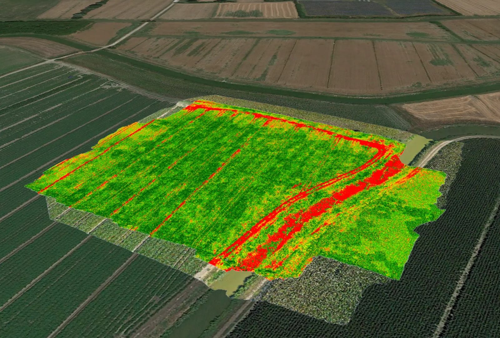
- Vegetation indicesOrthomosaic and nine vegetation indices, statistics by field, comparison between flights and PDF report.Learn more
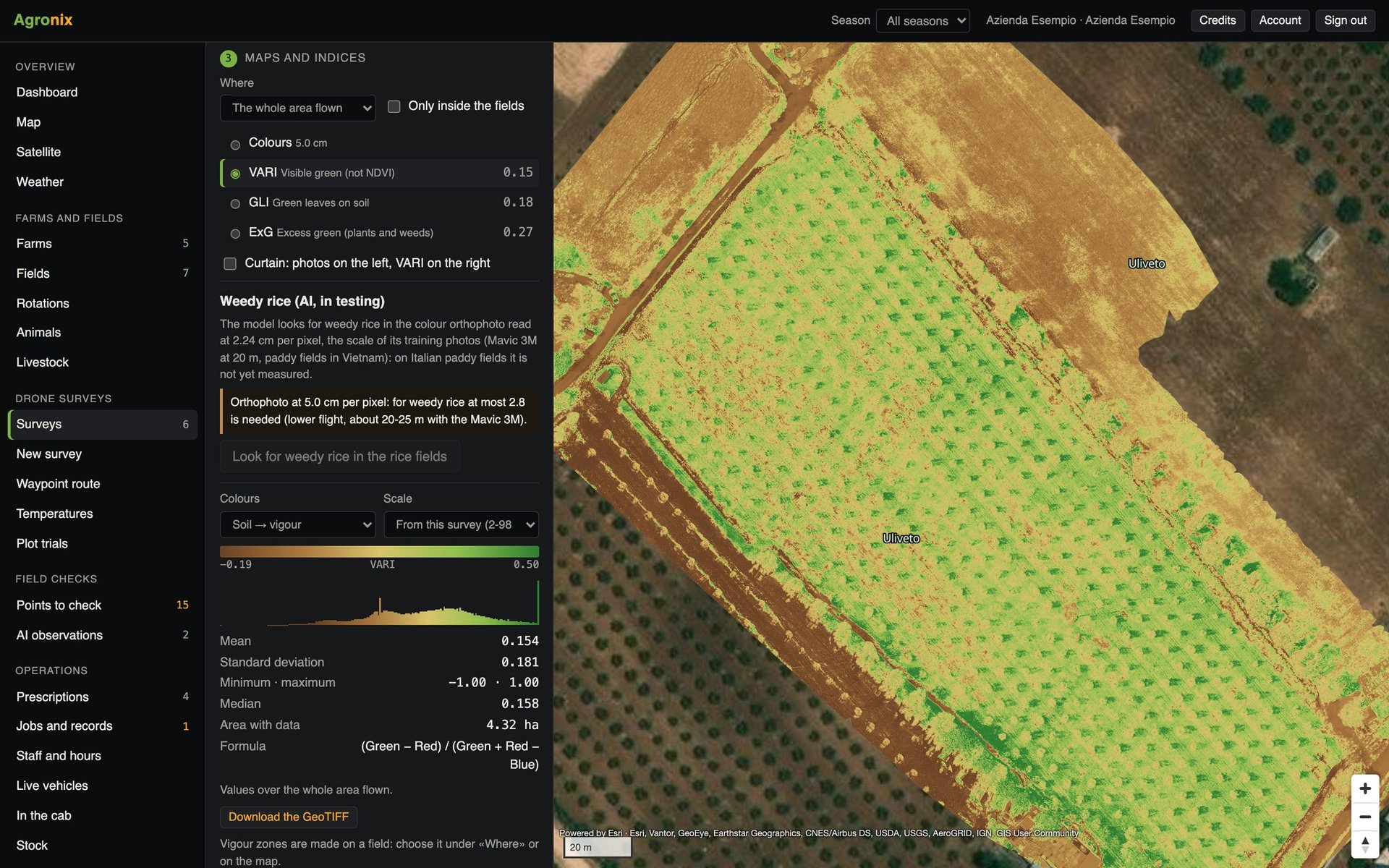
- Trees and canopiesTree counting with height, diameter and canopy volume, for orchards, olive groves and hazelnut groves.Learn more
- Plant and weed countingPlant density and emergence, weed map and spot-weeding prescription from drone photos.Learn more