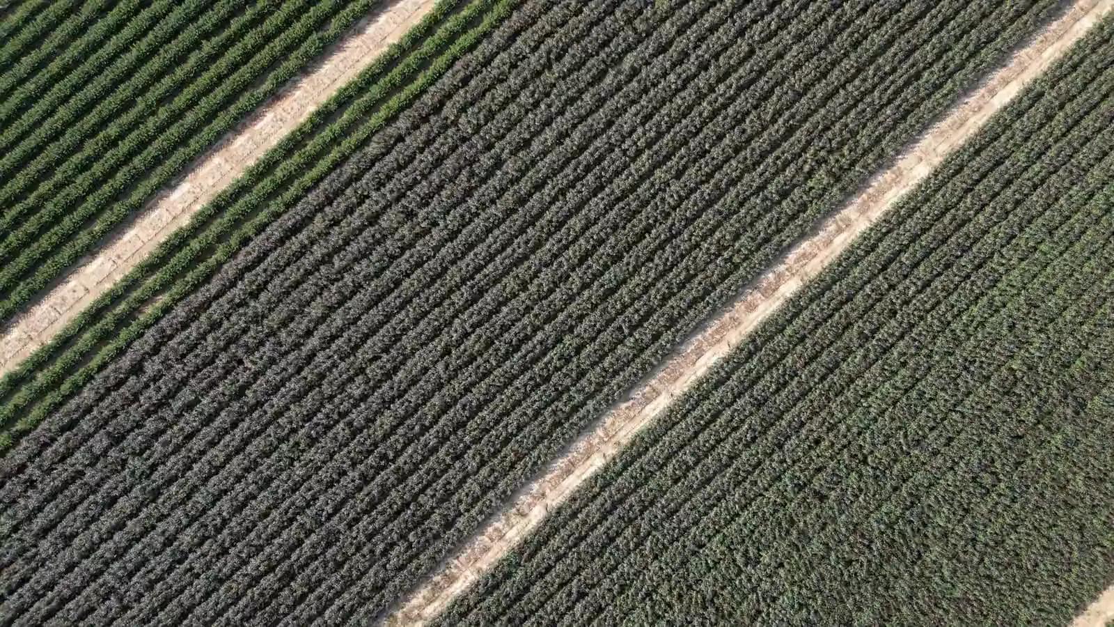
Field checks and AI
Field visits guided by the maps, diagnosis of diseases and pests from photos, counting of plants and weeds.
The challenge
Knowing where to look, and what you are looking at
A vigour map flags an anomaly but does not explain it. Without precise directions the field visit becomes a wasted walk, and the diagnosis depends on who is in the field that day.
The solution
Agronix turns maps into a list of points to check, guides the operator to each point and suggests a first diagnosis. The final decision stays with the agronomist.
Features included
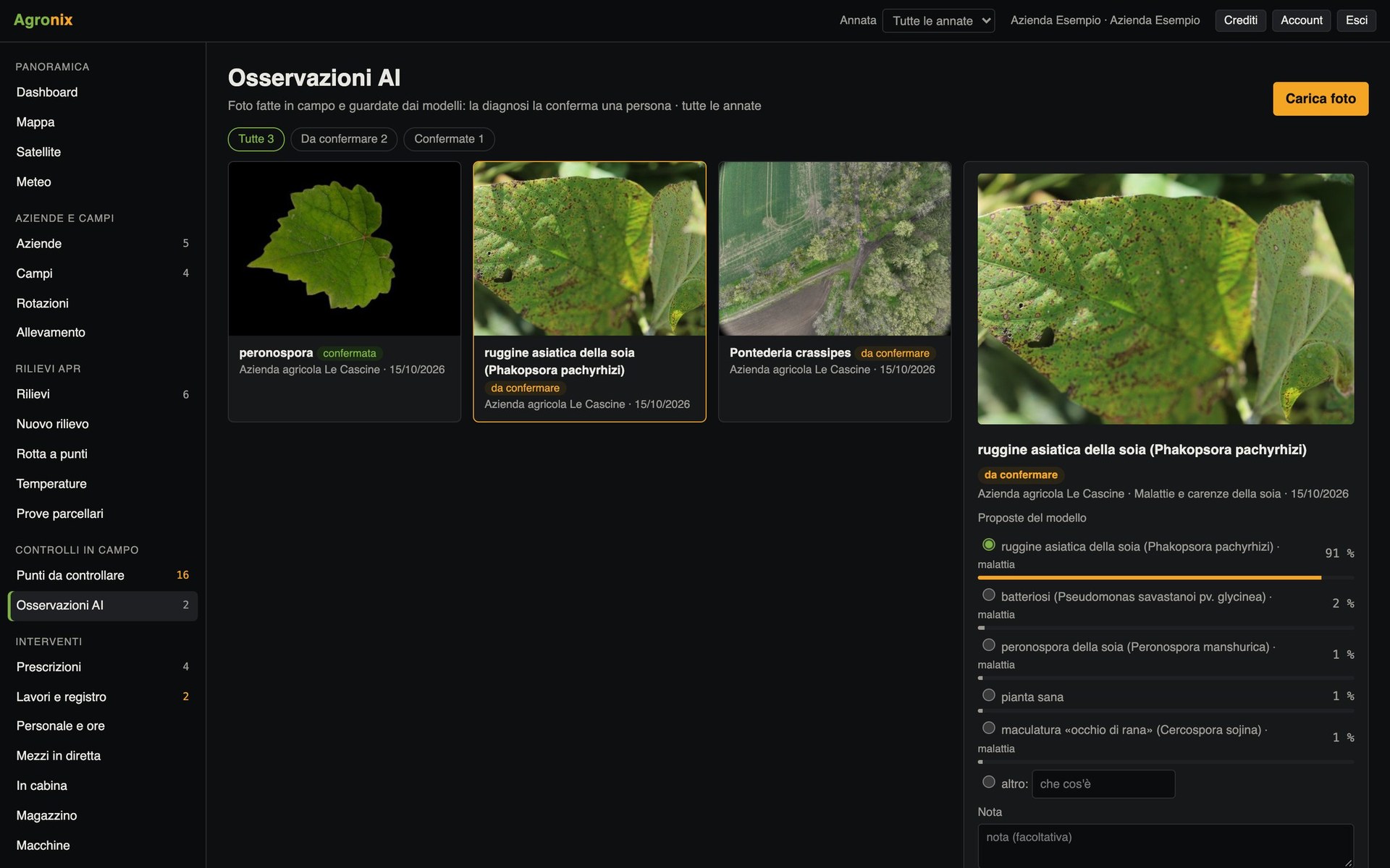
- Points to checkMaps find the critical areas; «Take me here» guides the operator to the spot.Learn more
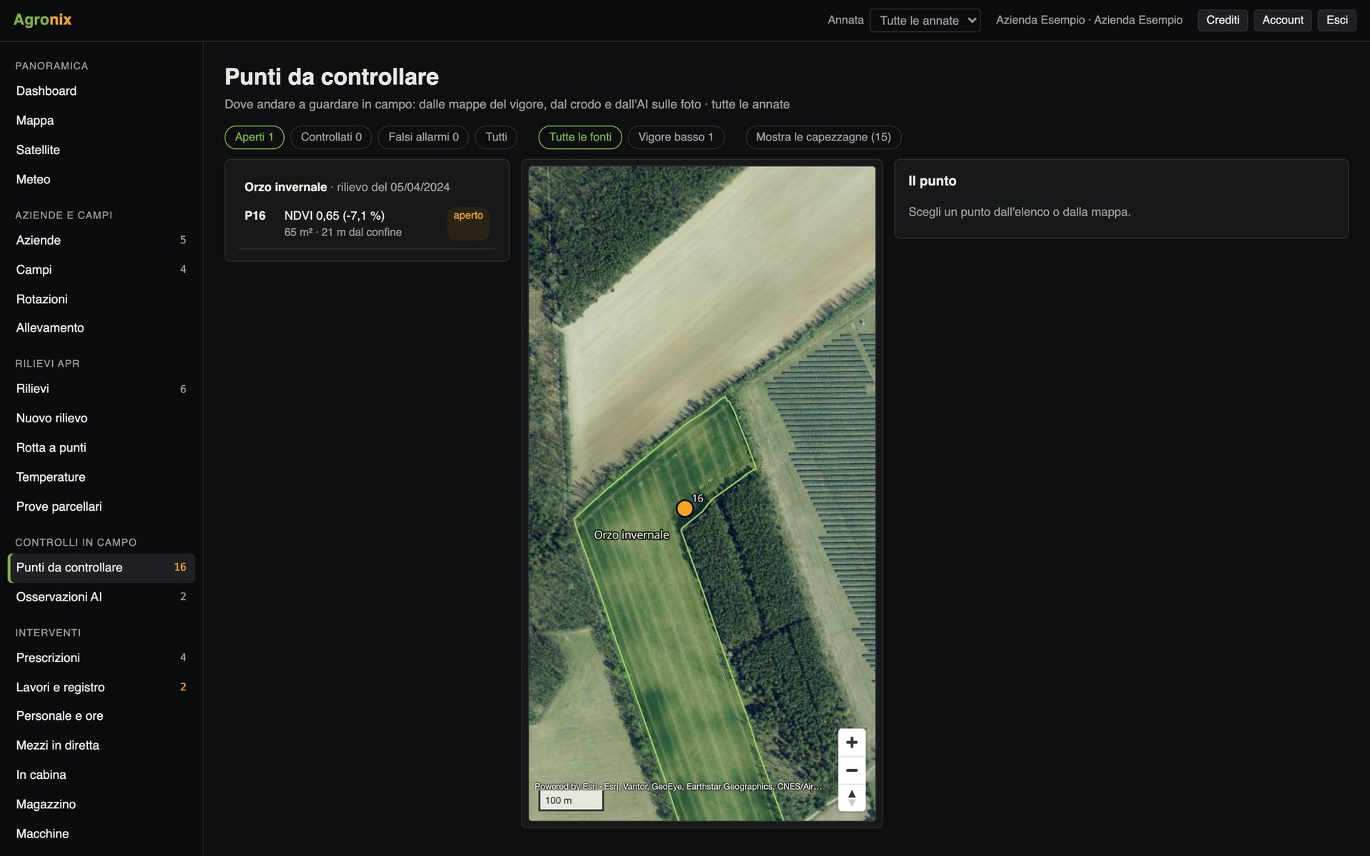
- Diseases and pestsDiagnosis from photos with models trained crop by crop, always confirmed by the agronomist.Learn more
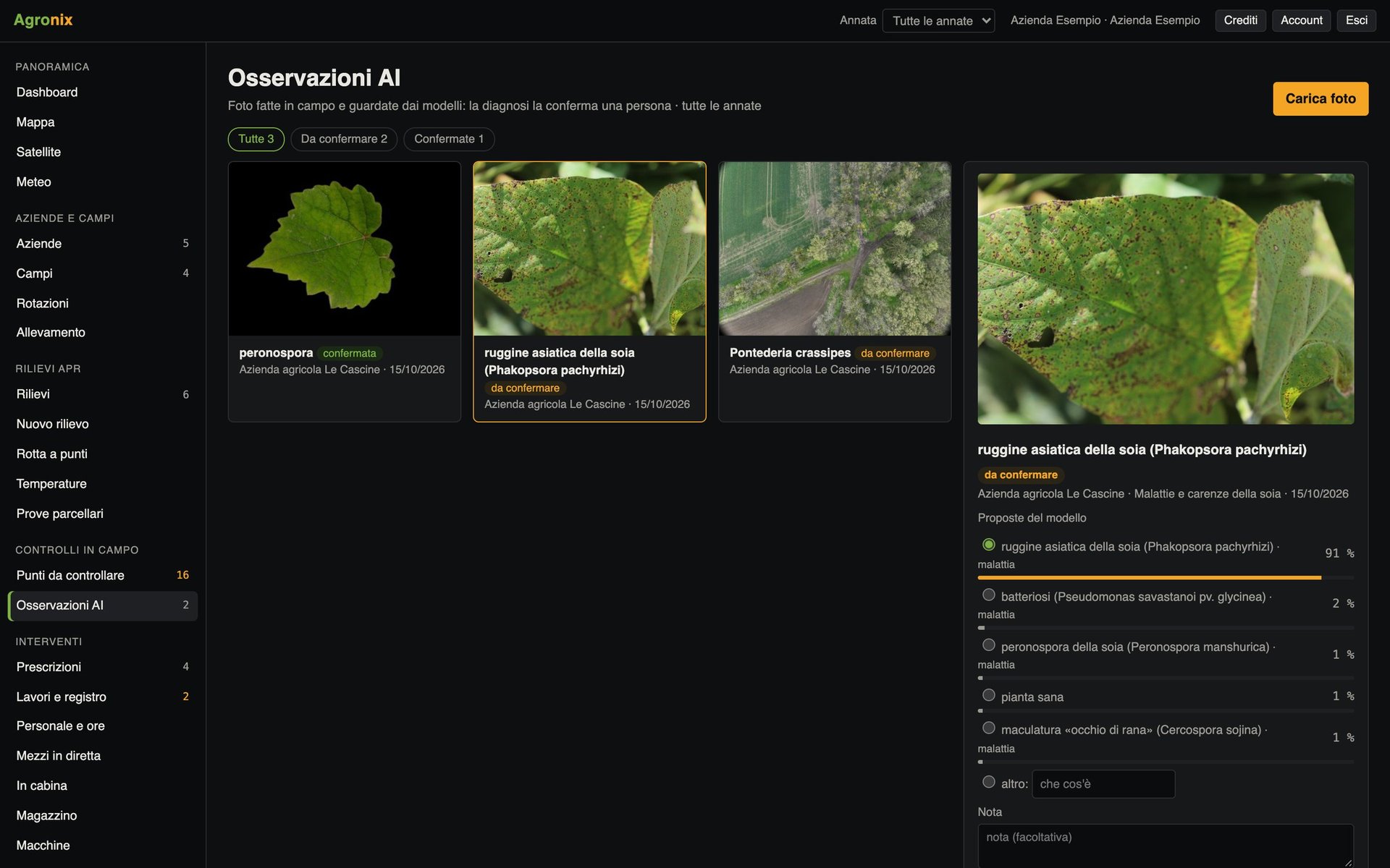
- Plant and weed countingPlant density and emergence, weed map and spot-weeding prescription from drone photos.Learn more
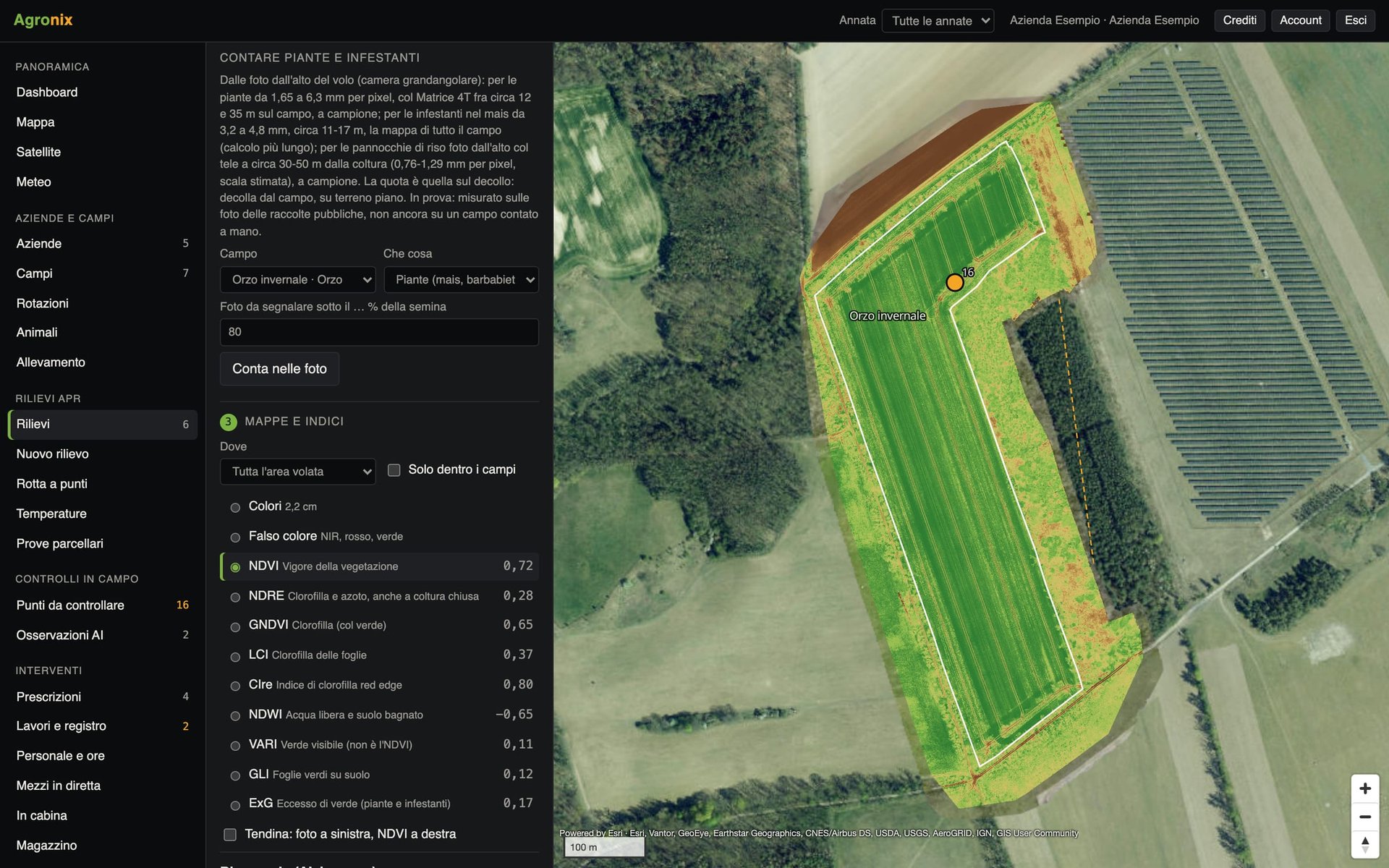
Together with drone surveys
Points to check and counting come from drone images and need the Drone surveys module. Diagnosis from photos also works on its own.
Who it is for
Agronomists and technicians
Focus field visits on the critical points and confirm the diagnoses.
Farms
Photograph the plant in the field and get an immediate first indication.
Researchers
Measure plant emergence and density from drone photos.
Availability by device
Computer
Every feature.
iPad
Every feature, in the touch version.
Smartphone
Field app: points to check from the nearest with «Take me here» and «Photograph here», photos of plants with the AI diagnosis.
Activating the module
Once the module is active, observations are added to the map of the fields already there, with date and position.
Price
Available soon
Buy