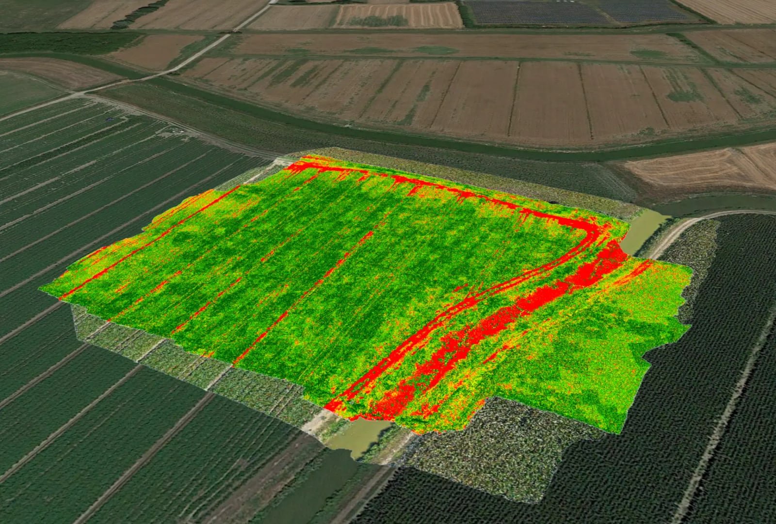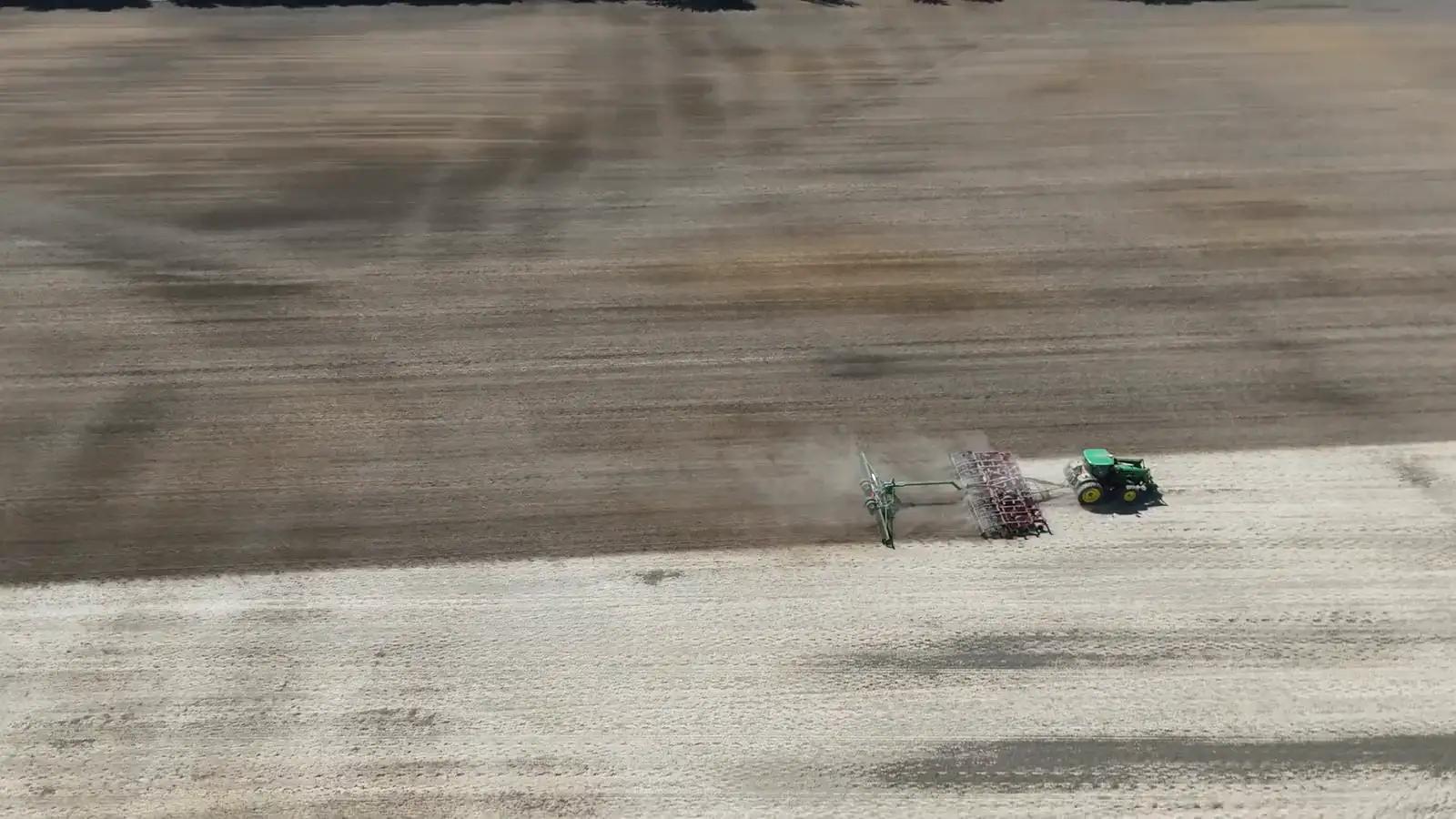
Measure volumes and levels from the terrain model
From the same survey with heights: volume of stockpiles, silage clamps and manure heaps, and a check of rice paddy levelling.
The terrain model from the drone measures what the eye can only estimate. Agronix calculates the volume of stockpiles, silage clamps and manure heaps and checks the levelling of rice paddy basins, with the cut and fill needed.
Volumes
Calculate the volume of stockpiles and clamps
You trace the perimeter at the foot of the pile; the base is the plane through the foot or a given elevation. Agronix returns net volume, maximum height and warnings on doubtful cases.
- Net volume and maximum height
- Base at the foot or at a fixed elevation
- Stockpiles, silage clamps, manure heaps
Levelling
Check rice paddy levelling
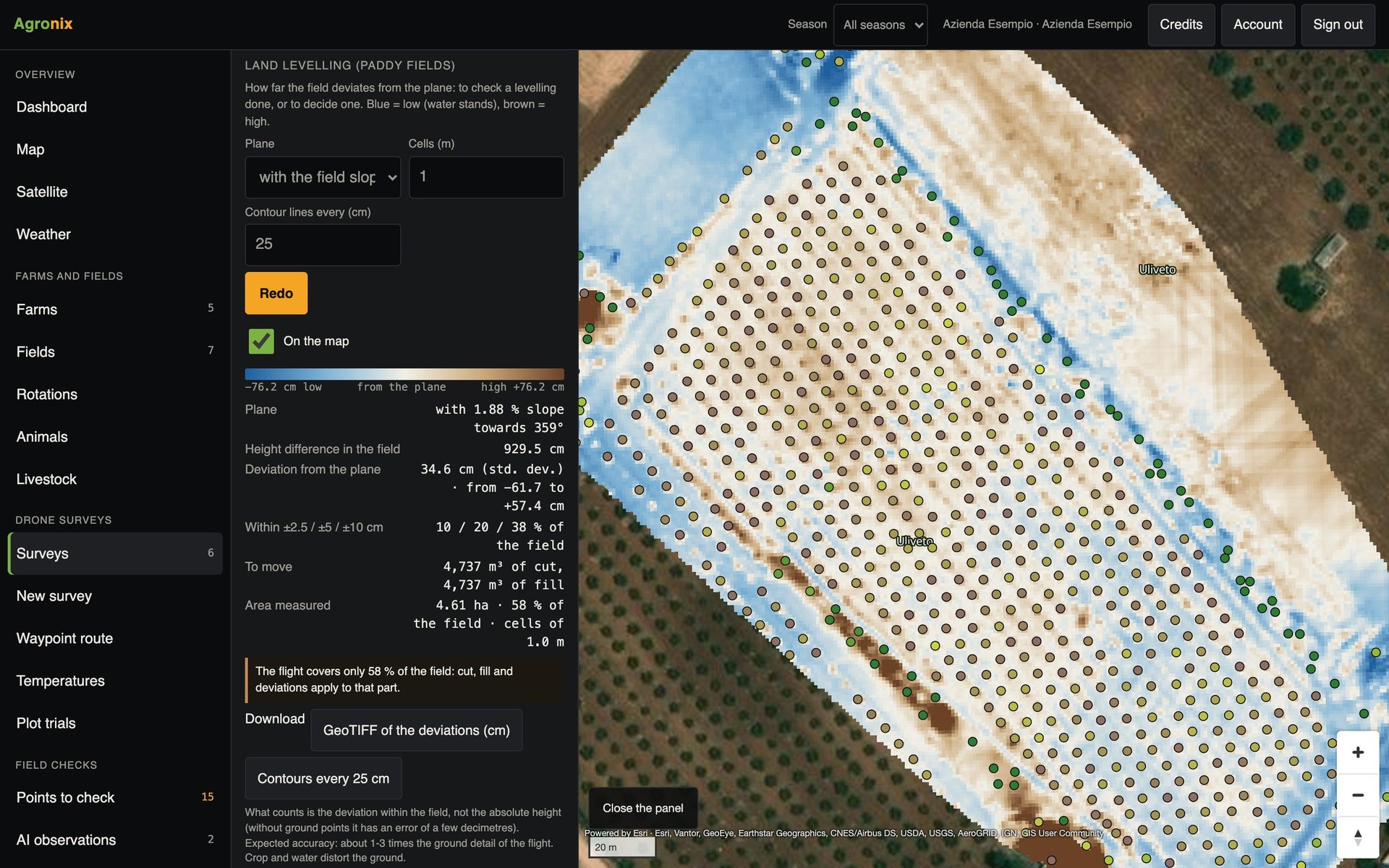
The terrain model in one-metre cells is compared with a horizontal plane or with the field's slope: Agronix shows the share of the area within ±2.5, 5 and 10 cm, cut and fill and the contour lines.
- Cell-by-cell differences in centimetres
- Cut, fill and contour lines
- GeoTIFF of the differences
How to use it
- 1
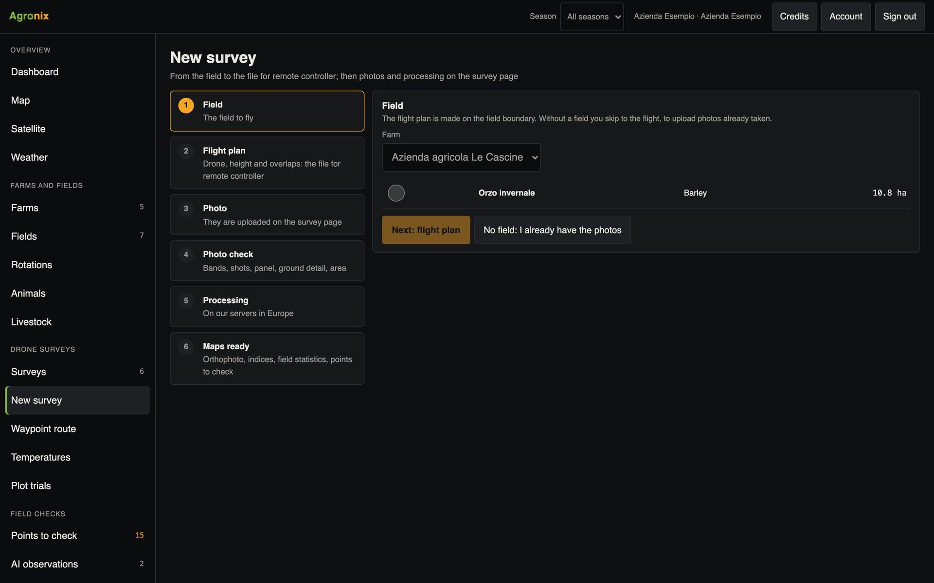
Run the survey with heights
From the New survey page.
- 2
Trace the perimeter
For stockpiles and clamps.
- 3
Choose the reference
Horizontal plane or the field's slope.
- 4
Read the results
Volumes, differences, cut and fill.
Specifications
- Volume check
- Tested on a cone of known volume: difference within 1 %.
- Cells
- 1 metre for levelling.
- Bands
- Area within ±2.5, 5 and 10 cm.
- Formats
- GeoTIFF of the differences, contour lines.
Related features
- Flight missionsMapping missions on the boundary, oblique shots for 3D and waypoint routes for inspections.Learn more
- Trees and canopiesTree counting with height, diameter and canopy volume, for orchards, olive groves and hazelnut groves.Learn more
- Vegetation indicesOrthomosaic and nine vegetation indices, statistics by field, comparison between flights and PDF report.Learn more