Base
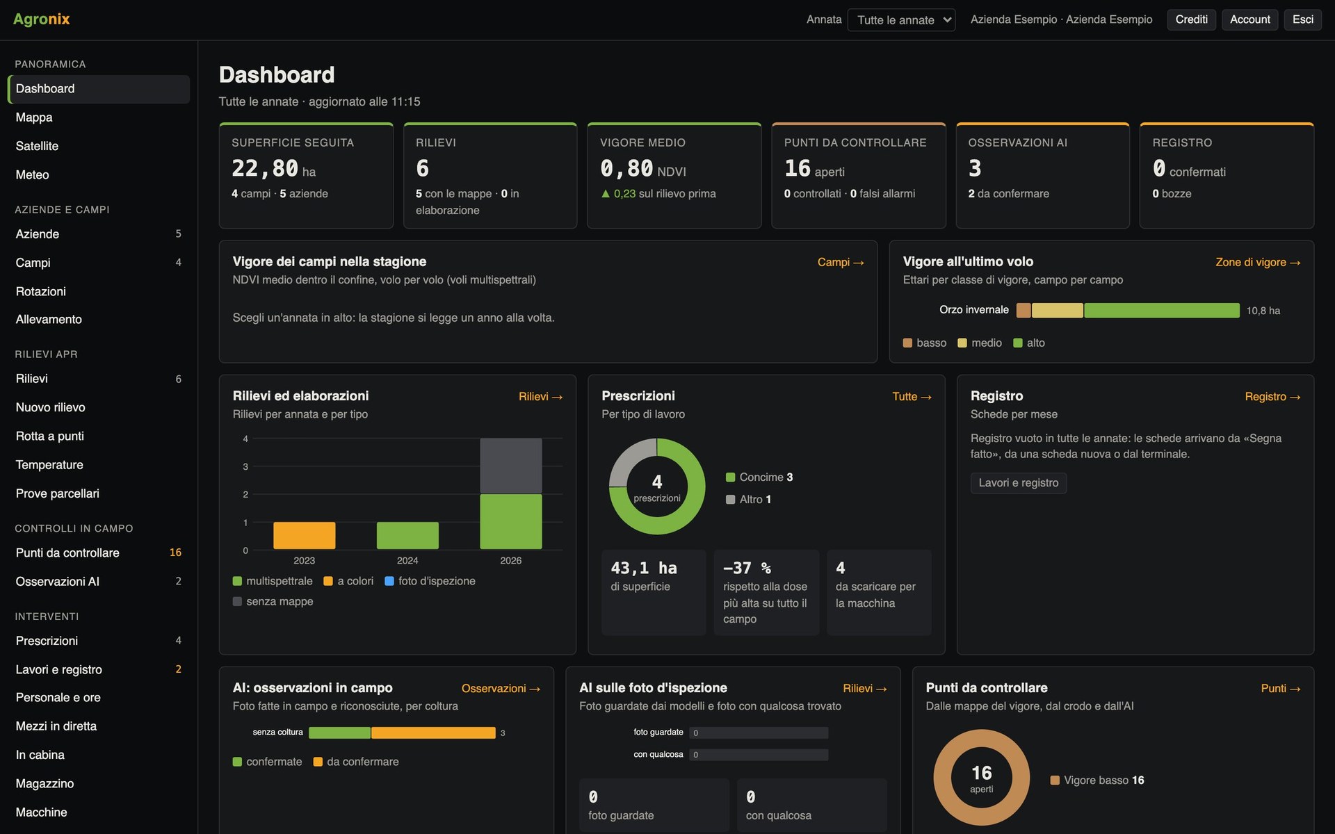
Farm details and fields, mapping, weather and alerts, satellite monitoring, notifications, document archive, users and permissions.
The challenge
Every decision starts from well-organised data
Uncertain boundaries, crops noted from memory, forecasts checked on different websites: without a common base, every later analysis loses value.
The solution
Base gathers fields, crop seasons, weather and satellite images in a single archive, shared with your team and available anywhere.
Features included
- Dashboard and mappingThe growing season on one screen and every field on a map, with cadastre and protected areas.Learn more
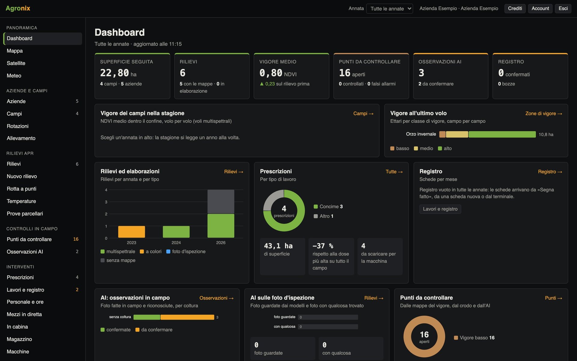
- Fields and seasonsBoundaries drawn, imported or suggested from the drone flight, crop by season, cadastre, environmental constraints and soil.Learn more
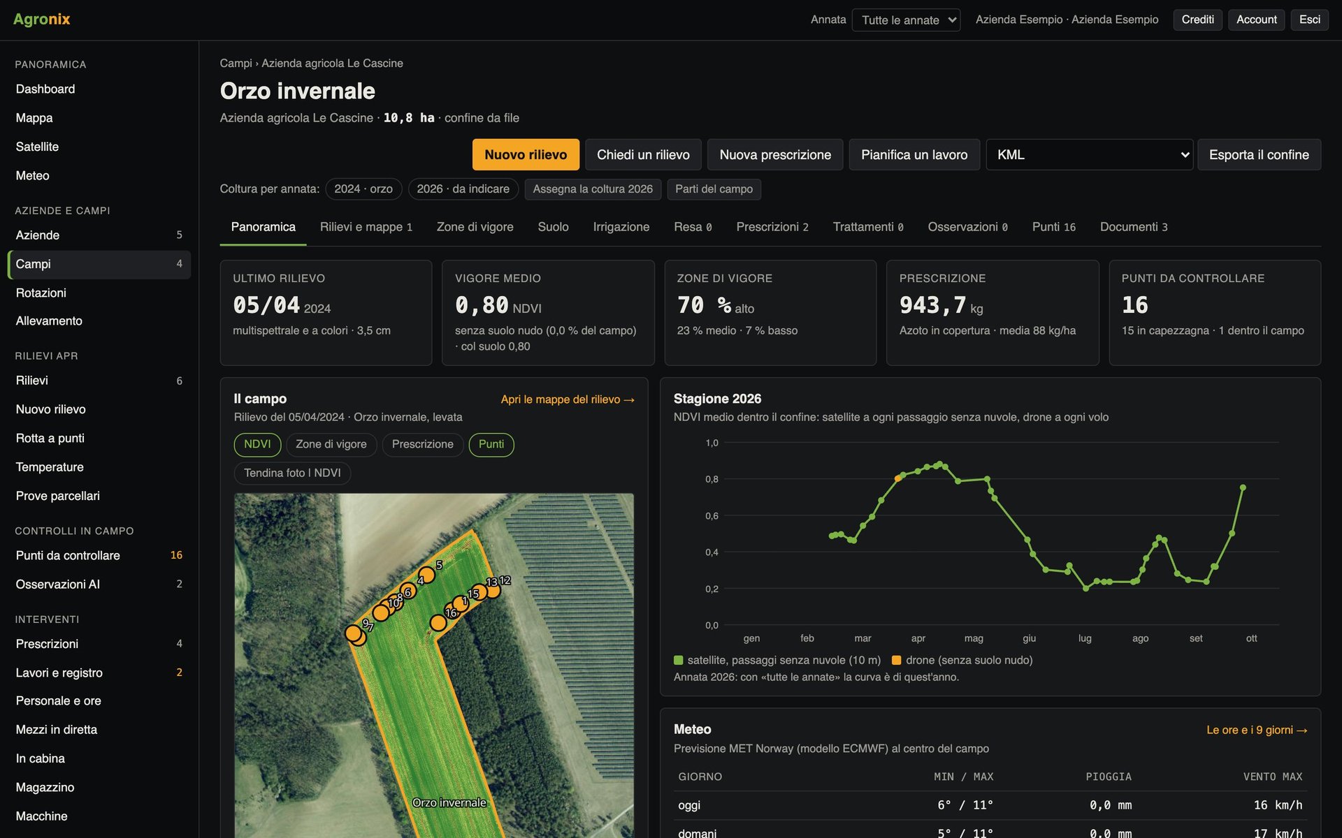
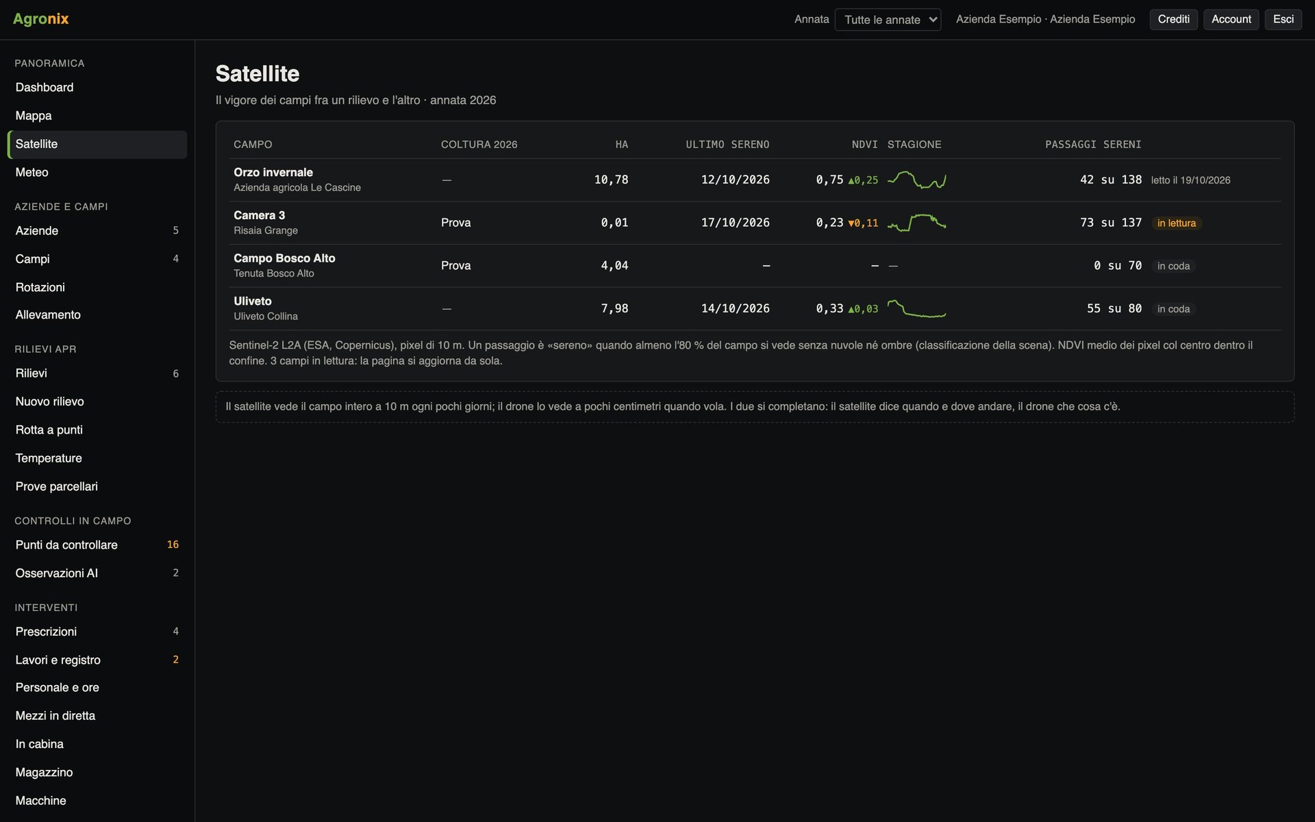
- Satellite monitoringThe vigour of every field every few days, only from cloud-free passes.Learn more
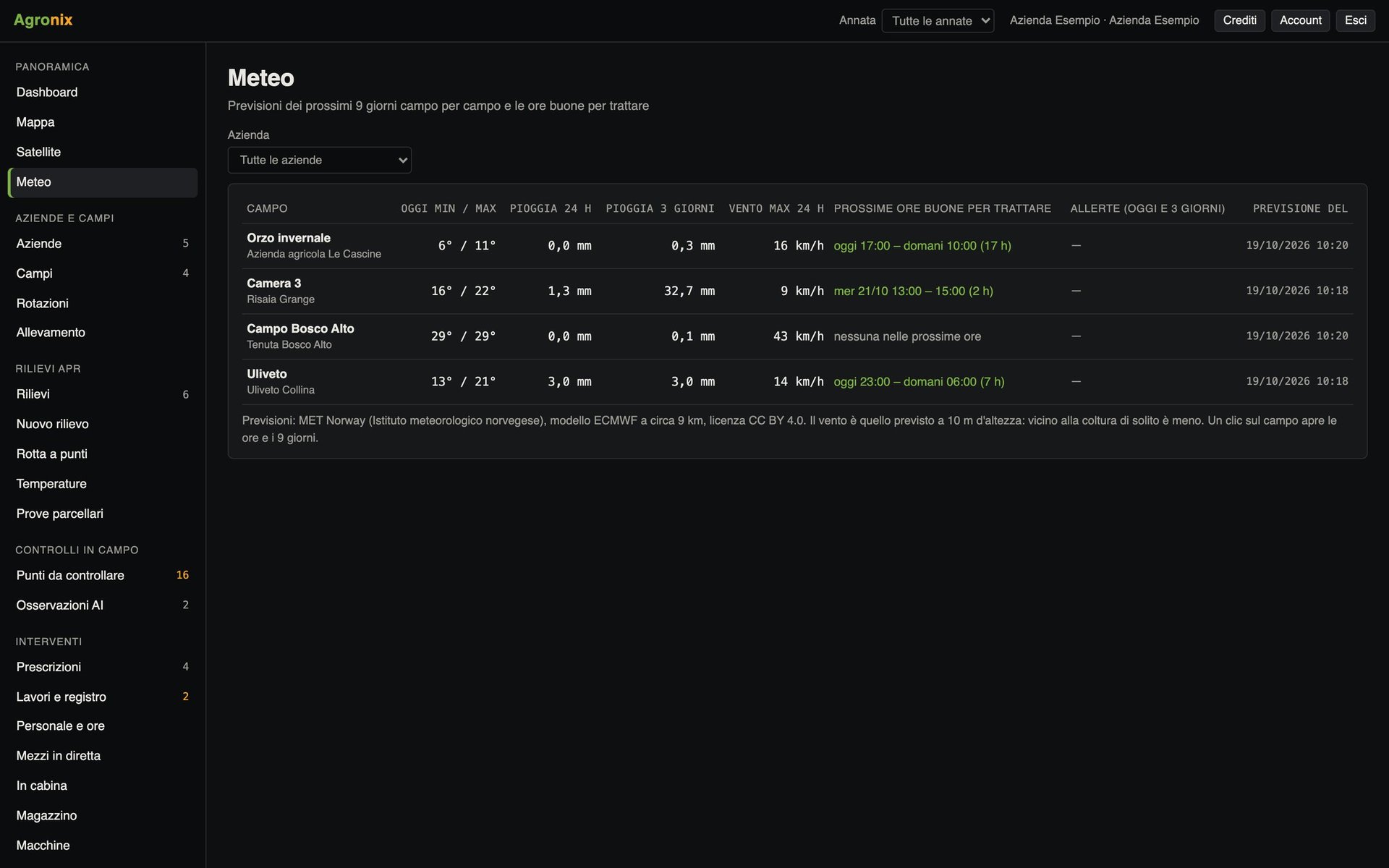
- Weather and alertsNine-day forecasts for each field, spraying windows, alerts and disease risk.Learn more
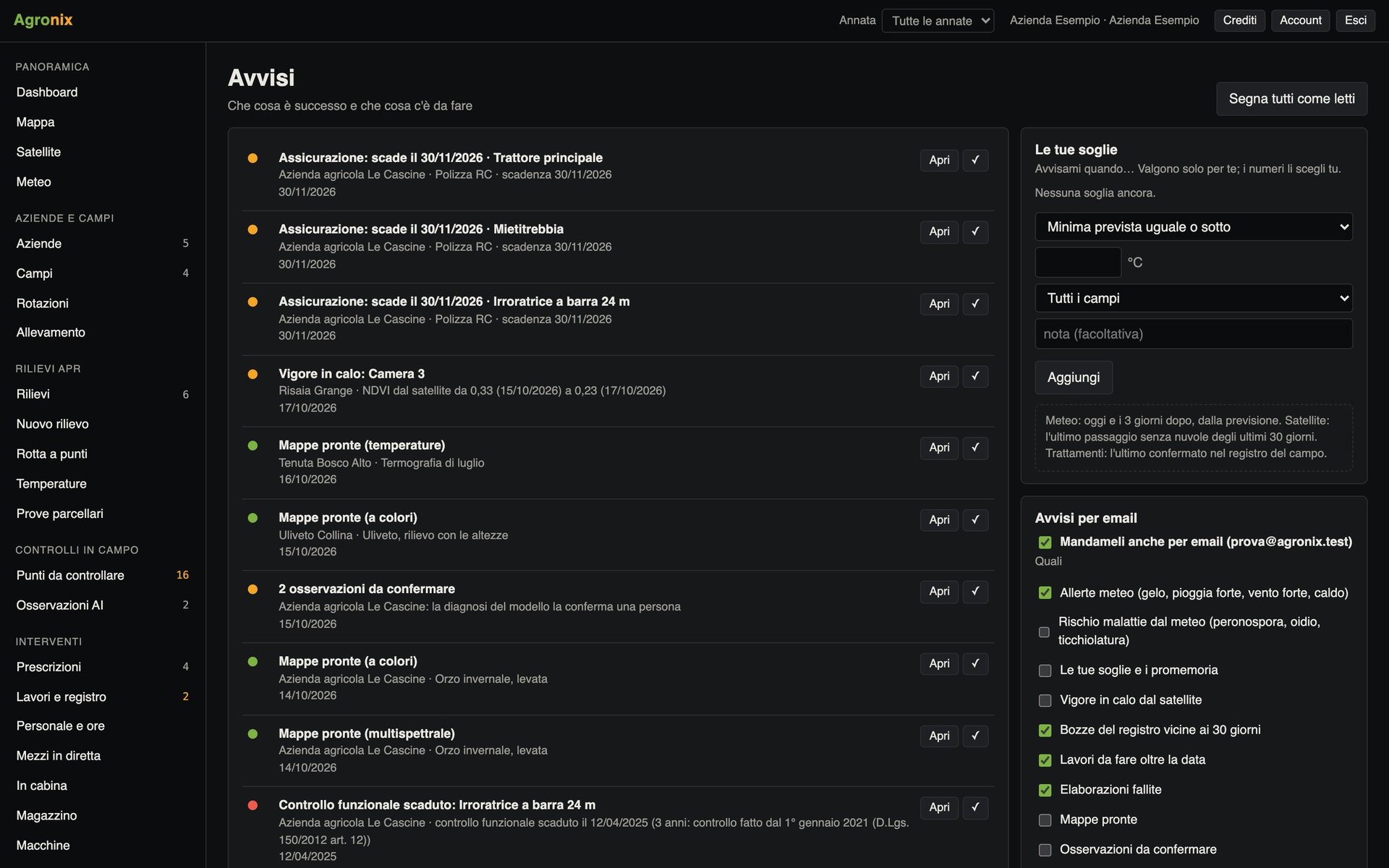
- NotificationsMaps ready, new points, deadlines and personal thresholds, in the app and by email.Learn more
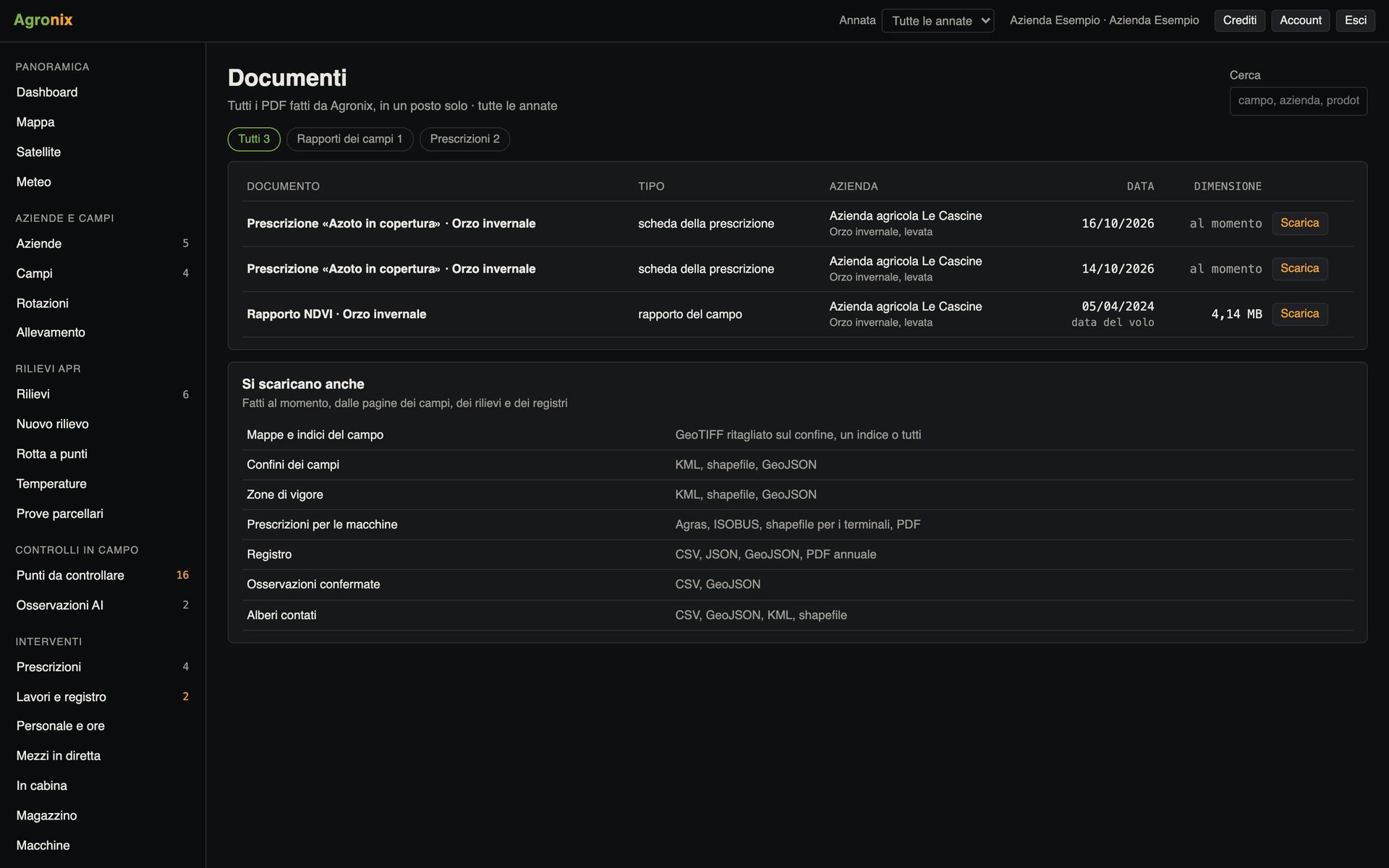
- Document archiveReports, prescriptions and records as PDFs and in open formats, gathered by farm.Learn more
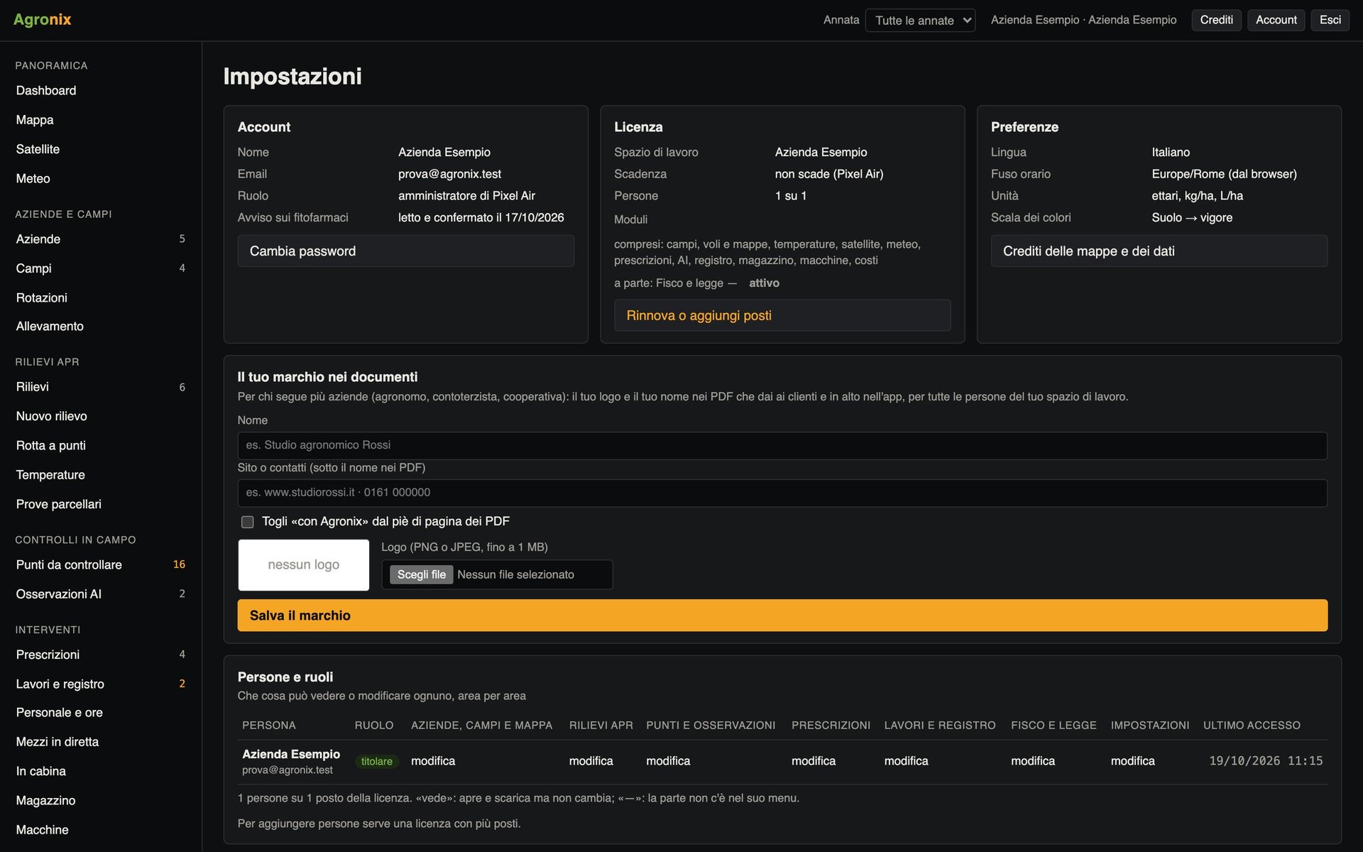
- Users, permissions and brandingTeam members with permissions area by area and your own brand on every document.Learn more
Who it is for
Farms
Organise fields and crops and follow the season from the dashboard.
Agricultural contractors
Store clients' boundaries and reuse them for every job.
Agronomists and advisers
Move from one client farm to another without changing account.
Availability by device
Computer
Every feature.
iPad
Every feature, in the touch version.
Smartphone
Field app: today's alerts and fields on the map with the phone's position and «Take me here».
Activating the module
Included in every licence: it is the base all the other modules work on.
Price
Available soon
Buy