Irrigate when the soil needs it
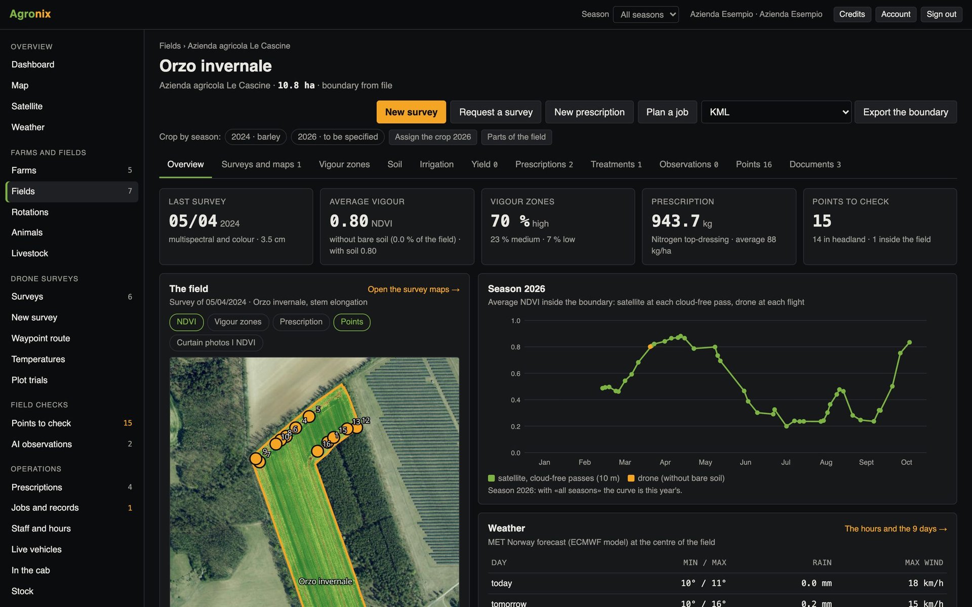
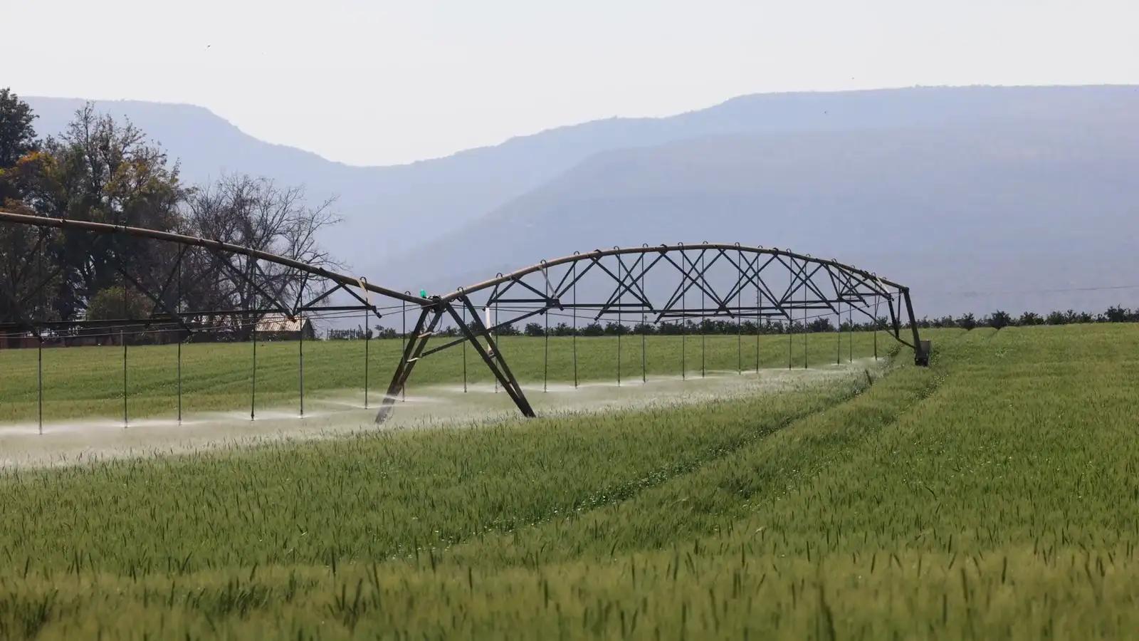
The water balance of each field tells you when to irrigate and how many millimetres, with measured and forecast weather data.
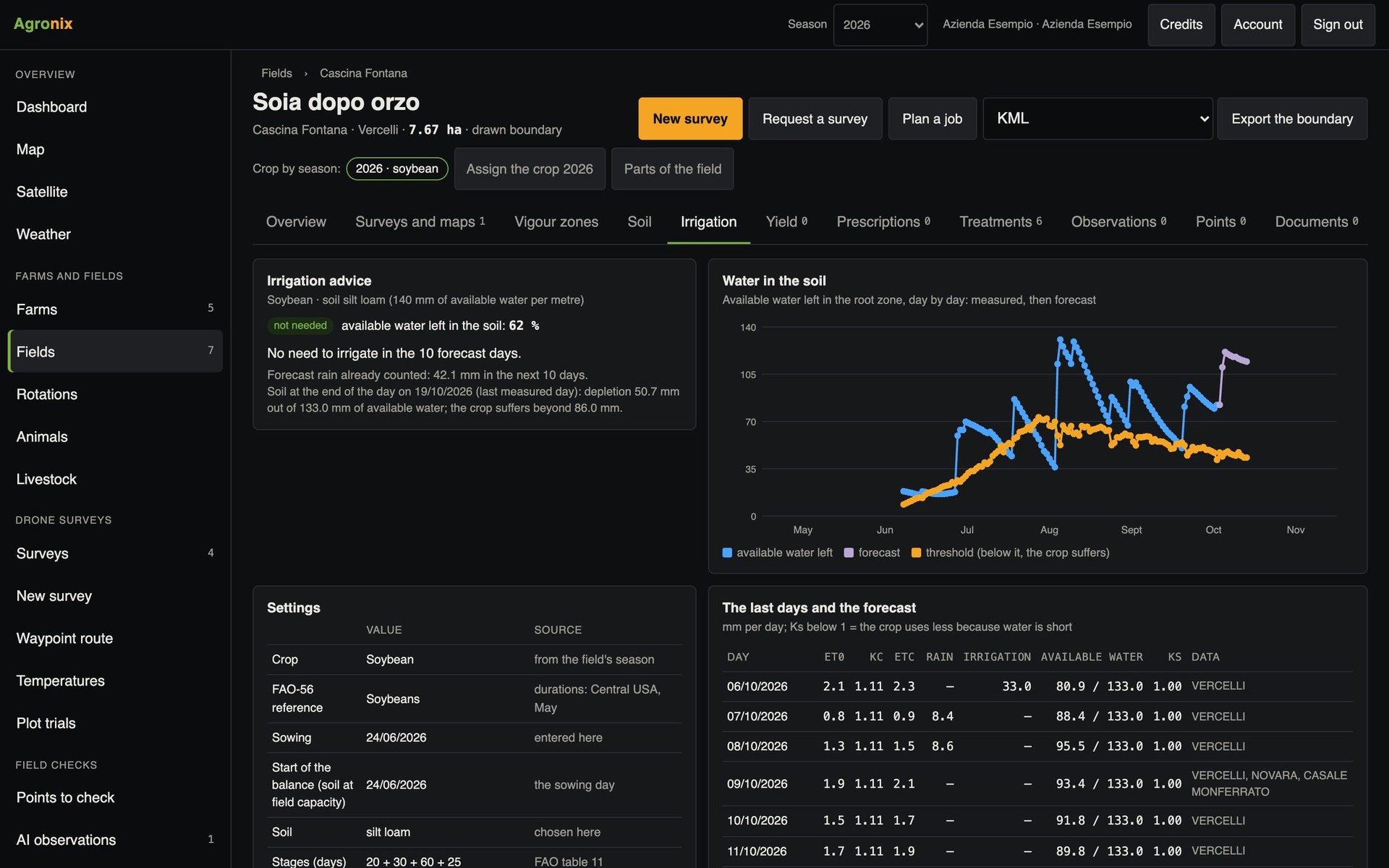
Irrigating by the calendar wastes water and energy; irrigating late reduces yield. Every day Agronix calculates the field's water balance according to the FAO-56 manual: evapotranspiration, crop, soil, rainfall and recorded irrigation.
Water balance
A balance for every field
Reference evapotranspiration is calculated with Penman-Monteith from the data of the nearest weather stations; the crop coefficient follows the season's crop, the soil follows the soil analysis. Irrigations in the records count with the efficiency of the method, and the farm's own rain gauge takes priority over the station.
- Daily Penman-Monteith
- Crop, soil and irrigations already in Agronix
- Farm rain gauge first
Advice
Get the «Irrigate» alert
The advice gives the date and the millimetres to apply, and flags when forecast rain brings the water back above the threshold. It appears on the field page and, if enabled, among the alerts and by email; the calculation repeats every six hours.
- Date and millimetres
- Forecast rain taken into account
- Alert in the app and by email
How to use it
- 1
Set crop and sowing
From the season and the records.
- 2
Record the soil analysis
Texture and water holding capacity.
- 3
Check the parameters
Everything editable on the Irrigation page.
- 4
Switch on the alert
In the app and by email.
Specifications
- Method
- FAO-56: Penman-Monteith, crop coefficients, soil water balance.
- Check
- 79 cases from the FAO manual; evapotranspiration within 0.01 mm of an independent calculation over 99 days.
- Measured data
- Arpa Piemonte stations within 30 km and 150 m of elevation difference.
- Forecasts
- MET Norway for the following days.
Irrigation advice is currently available for fields in Piedmont, where it uses the regional weather stations.
Related features
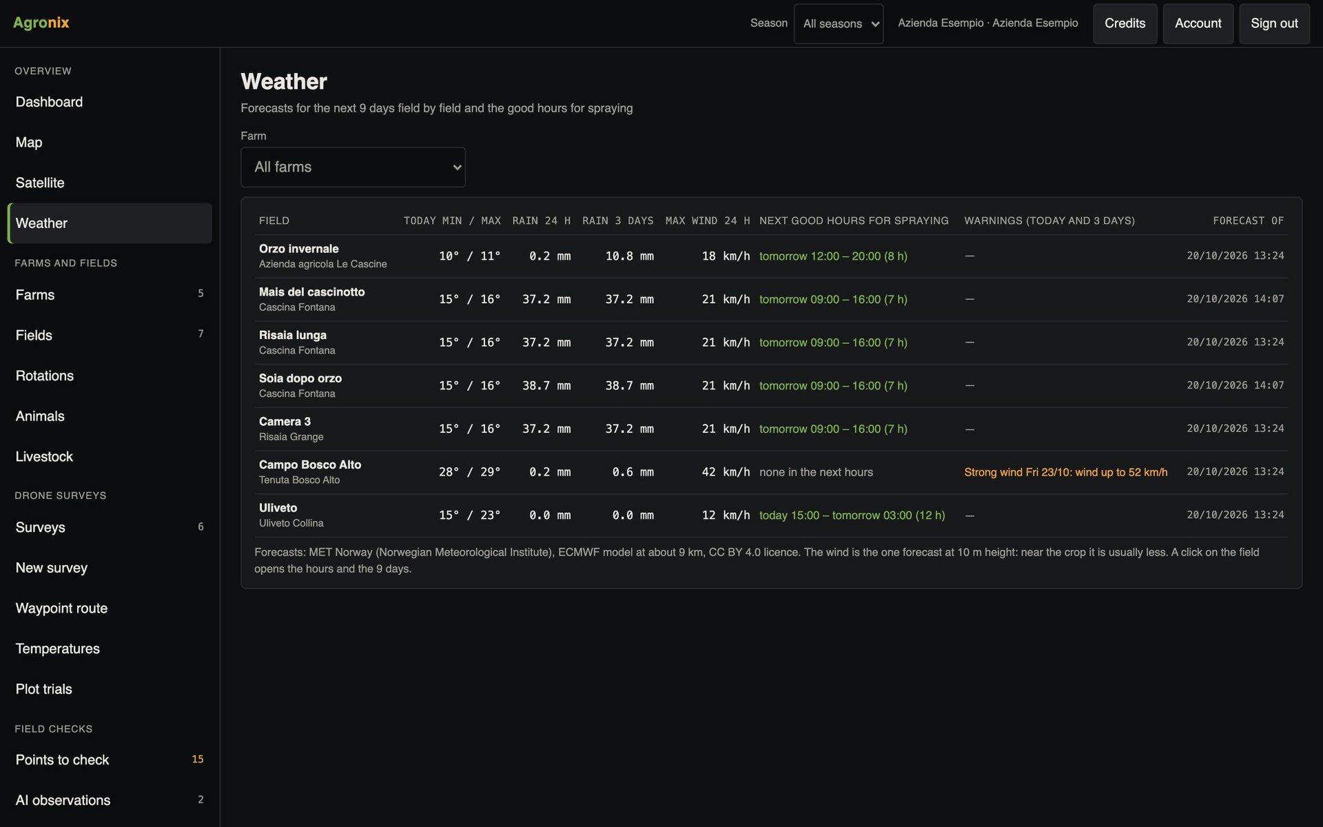
- Weather and alertsNine-day forecasts for each field, spraying windows, alerts and disease risk.Learn more
- ThermographyTemperature maps in degrees Celsius from radiometric thermal photos: water stress, waterlogging, leaks.Learn more
- Fields and seasonsBoundaries drawn, imported or suggested from the drone flight, crop by season, cadastre, environmental constraints and soil.Learn more