The supply chain sees what members allow
A cooperative or processor creates the supply chain; members join with a code and choose what to share.
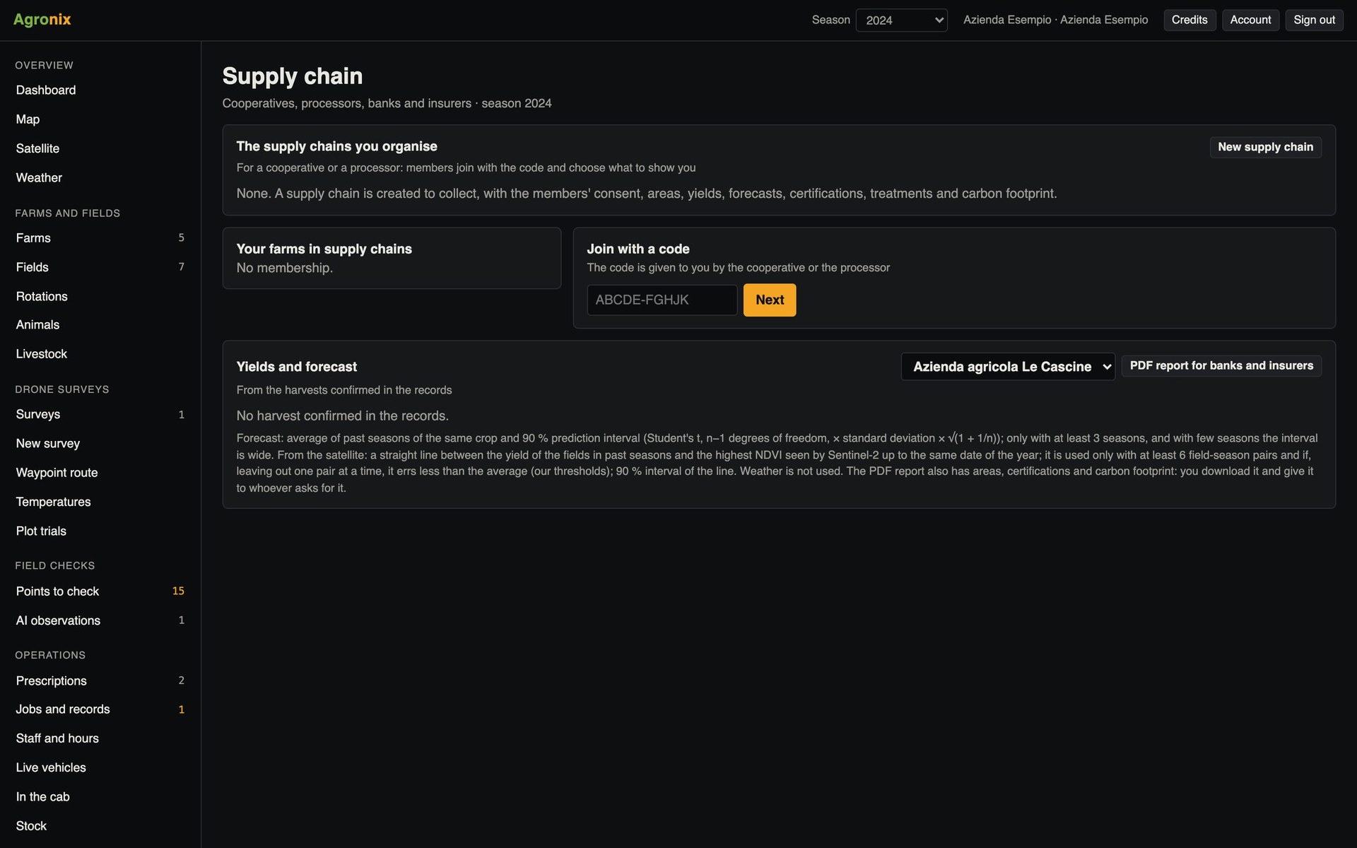
Whoever takes in the produce of many farms needs to know hectares, practices and expected harvest; the farms need to decide what to show. In Agronix the supply chain sees only the data the owner of each member farm has allowed, in writing and with a date, and consent can be withdrawn at any time.
Consent
The member chooses what to share
The owner sees who is asking and for what data, chooses the farms and information to share and confirms consent, recorded with name and date. Without consent the supply chain sees nothing; with consent, read only.
- Consent in writing and revocable
- Data chosen farm by farm
- Read only for the supply chain
Yields and banks
Yield forecast and credit report
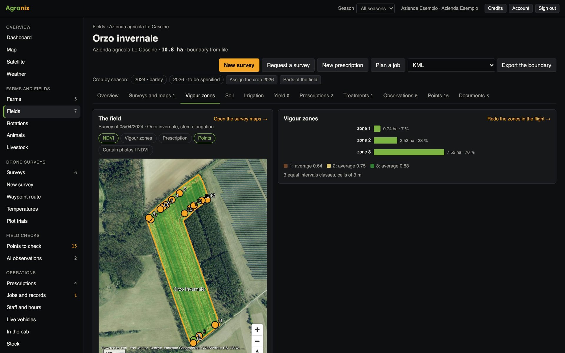
Historical yields come from confirmed harvests; with at least three seasons Agronix calculates a forecast with a 90 % interval, using the satellite only if the link between vigour and yield passes the check. The PDF report for banks and insurers sums up five seasons of areas, yields, forecast and certifications.
- Forecast with at least three seasons
- Satellite only if the check holds
- PDF report for banks and insurers
How to use it
- 1
The supply chain is created
By the cooperative or processor, with a code.
- 2
The member joins
Enters the code on their Supply chain page.
- 3
The owner consents
Chooses farms and data.
- 4
The supply chain views
Only the data allowed.
Specifications
- Shareable data
- Areas, yields, forecasts, certifications, treatments, carbon footprint, boundaries.
- Dashboard
- Hectares by crop, harvest, forecast with minimum and maximum.
- Forecast
- Mean of the seasons with a 90 % interval; weather is not used.
- Report
- PDF for banks and insurers; it is not an appraisal.
Related features
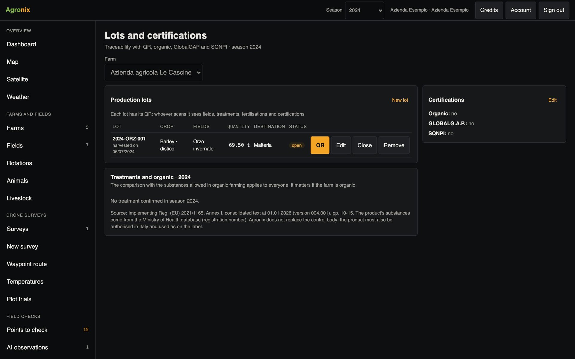
- Lots and certificationsA QR code for every lot, recorded certifications and a check of treatments for organic farming.Learn more
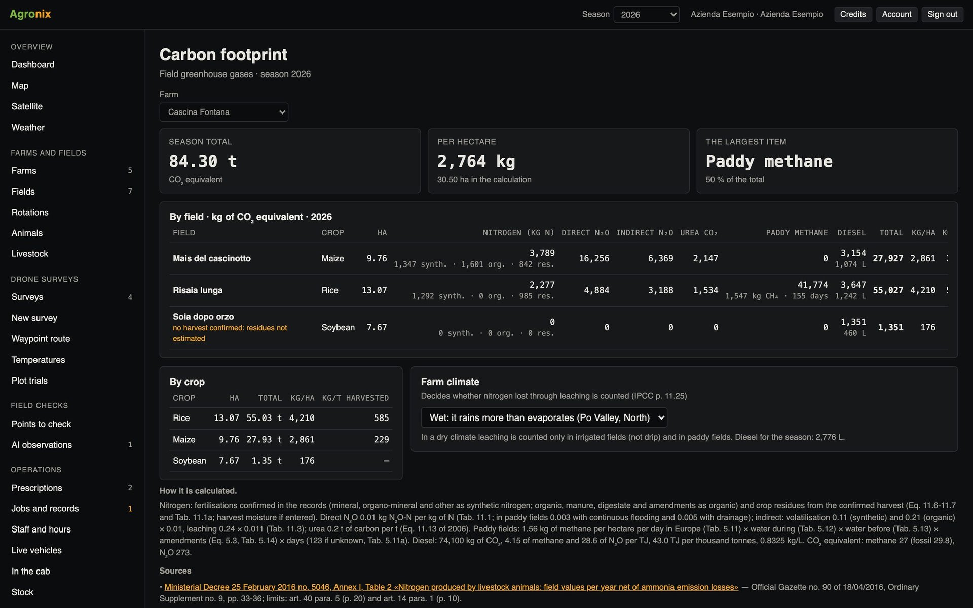
- Carbon footprintGreenhouse gas emissions by field and crop, with IPCC methods.Learn more
- Management zonesZones from a survey, stable zones from several satellite seasons and combine yield maps.Learn more